
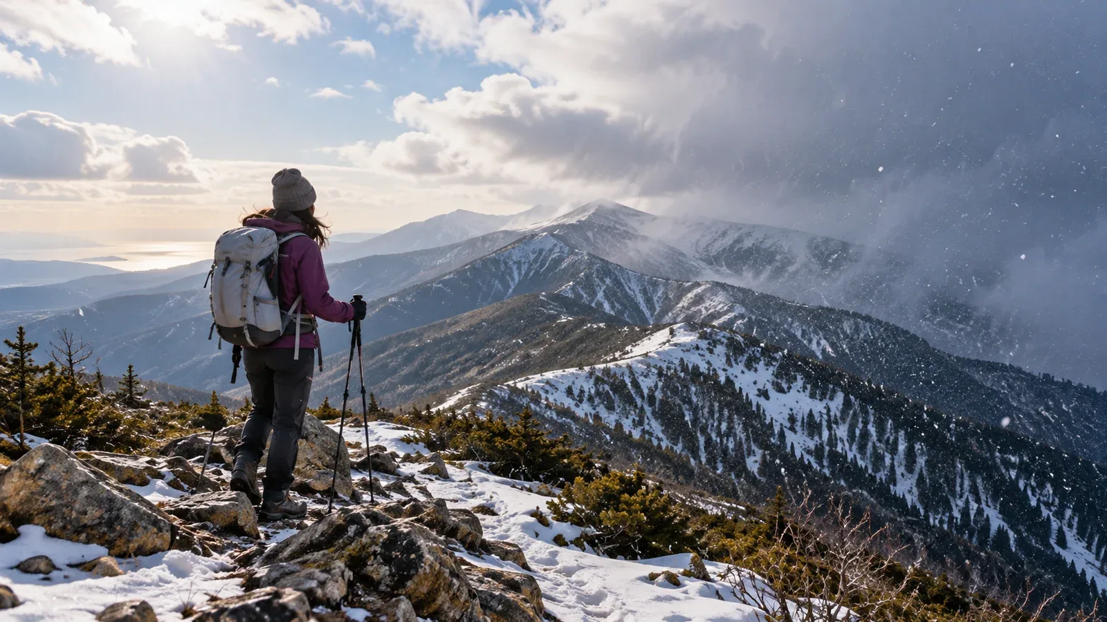
When spring comes, many people start thinking about hiking again. The first warm wind can make a trip seem possible, only for snow the following week to force a turnaround. In the mountains, a mild spell and winter conditions can come close together.
From late February through April, warm and cold air masses cross Japan as the winter pressure pattern breaks down. Conditions can change sharply in a matter of days. Two useful patterns for new hikers to understand are haru ichiban and kan no modori, the return of cold.
What is haru ichiban?
Haru ichiban is the first warm, fairly strong southerly wind to blow over a wide area between the traditional start of spring, around February 4, and the spring equinox, around March 20. It can accompany a low moving over the Sea of Japan. Announcement criteria and coverage vary by region.
Ridges and summits can be windier than the lowlands, depending on terrain and wind direction. When haru ichiban is announced, look up winds and gusts at elevation. It can be hard to stay on your feet near the summit even when the valley feels warm.
After the low moves through, cold air can move in from the west. Temperatures can fall sharply, and rain in the mountains may turn to snow. That return of cold is called kan no modori.
Why a cold snap matters in the mountains
A cold snap can bring several changes at once.
Rain turns to snow. After warm weather melts snow and leaves trails muddy or wet, snow can return the next day. A thin layer can conceal mud and ice, making it easier to slip.
Your clothing may no longer match the conditions. Beginners may leave insulation at home because it feels warm. Wind and rain in spring can also lower core body temperature and cause hypothermia. Bring insulation and protection from wind and rain.
Old and fresh snow can coexist. Warm air and rain can soften old snow into wet, loose snow, sometimes called kusareyuki in Japan. Footsteps may collapse. In colder weather the surface can refreeze, and fresh snow may hide the hard layer.
When and what to check in the forecast
For a spring hike, build on the general forecast by checking conditions along the route.
One week out: Look at the pressure pattern
Check the Japan Meteorological Agency’s weekly forecast and numerical guidance for an idea of when lows may pass. Keep a flexible date in mind because cold air often follows a low.
Three days out: Check a mountain forecast
The trailhead and summit can have different weather from the lowlands. Specialist services give estimates for ridge winds, temperature and precipitation. A forecast mean wind of 15 m/s or more signals strong wind. Consider gusts, exposure and the group’s experience, and postpone if conditions are too severe.
The day before and the morning of: Check observations and alerts
The JMA high-resolution precipitation nowcast shows current radar-based precipitation and projections up to 60 minutes ahead. Check local warnings and advisories, too. Follow any mountain safety alerts or advice to stay off the trails from local authorities or rescue teams.
Build a plan that lets you turn back
For a first spring hike, leave enough flexibility to move the trip to a day with better weather.
Here are three ways to build that flexibility into the plan.
- Make the summit optional. A fixed summit date can push you to continue in poor weather. Plan to turn around at a viewpoint if the top is out of reach.
- Keep to your descent schedule. Days are getting longer, but the weather can change quickly on a ridge. If it starts worsening earlier than expected, turn around even if the summit is only 30 minutes away.
- Build experience on lower mountains. You can learn how spring weather changes on a low-elevation day hike that gets you back the same day.
Check local authorities or mountain huts for current snow cover and trail openings just before the hike. The amount of remaining snow can vary considerably from year to year.
What to wear: Keep your layers
A common mistake is to leave insulation behind because you expect to get warm on the climb.
The layering basics still apply: a quick-drying base layer, an insulating middle layer and an outer shell against wind and rain. Keep a waterproof, breathable shell where you can reach it quickly.
In a standard atmosphere, a rough estimate is a 0.6°C drop per 100 m of elevation gain. If the base is 15°C, a summit 1,500 m higher would be about 9°C colder, or around 6°C. Wind can make it feel colder still. Check the summit temperature forecast before choosing what to bring.
Before your spring hike
Start with the Japan Meteorological Agency’s weekly forecast and pressure charts. Use a mountain forecast once you have a route in mind. Check the local authority or mountain hut for current snow cover and trail conditions. You can also use Nordwand’s Base Camp to find local hikers who have experience with spring conditions.
Further reading
- Japan Meteorological Agency, Haru Ichiban
- Japan Meteorological Agency, weekly forecasts and numerical guidance
- National Police Agency of Japan, annual mountain incident reports