
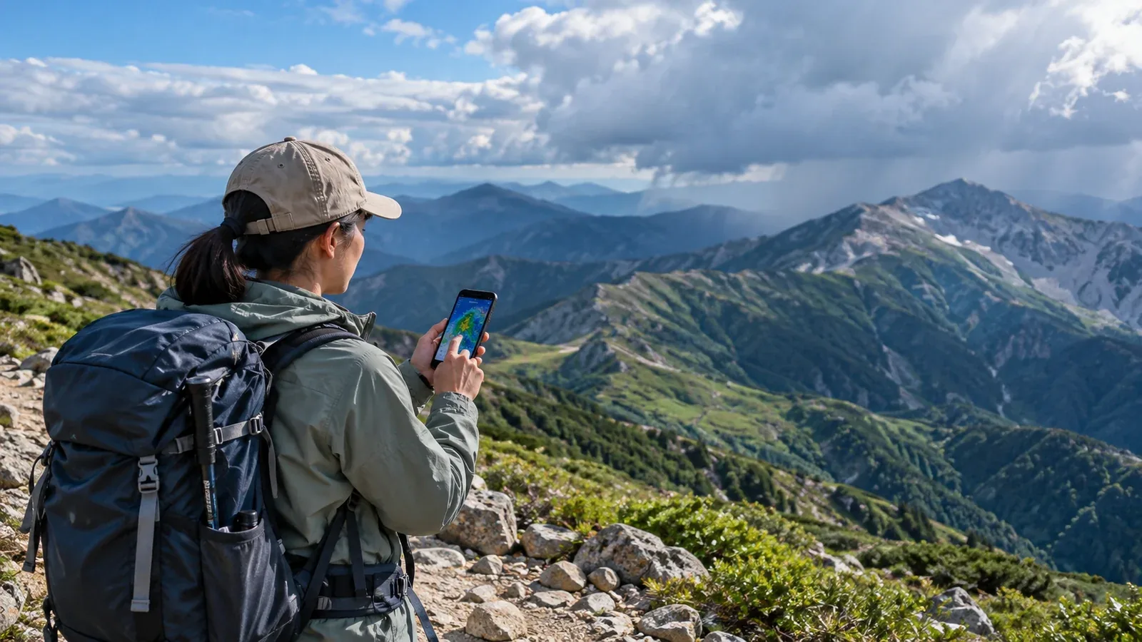
Can a free app cover a hike? The answer depends on the information you need for your route. Start with what each app actually shows.
A town forecast and the weather on a hike can differ because of terrain and elevation. Even if the valley is sunny, thunderclouds may develop near 2,000 m. Wind also differs between ridges and valleys. Look for time, elevation, wind and precipitation probability alongside the daily weather icon.
Here is what to look for in a mountain forecast and how to compare free and paid plans.
What a general forecast may leave out
Built-in weather apps and general services mainly display near-surface observations and forecasts. They often show weather, temperature and precipitation probability by city or station. Update intervals vary by service and product.
Three gaps matter in the mountains.
Elevation is missing. A town at the base and a summit can have very different temperatures. A rough standard-atmosphere estimate is 0.6°C per 100 m. A summit 2,500 m higher than the base would be about 15°C cooler under that assumption. The real difference varies with the day and time.
Wind details are limited. The U.S. National Weather Service wind-chill index gives about 6°C at an air temperature of 10°C and a wind of 10 m/s. Wet clothing, sunlight and insulation also affect heat loss. Check whether the app shows mean wind and gusts separately.
Time intervals are too broad. “Rain in the afternoon” does not tell you whether rain is expected at noon or 3 p.m. A forecast in one- or three-hour blocks can help when choosing whether to finish by 2 or 4 p.m.
What mountain weather apps offer
Services aimed at hikers try to fill those gaps. Understanding their features makes them easier to compare.
Forecasts by elevation or named mountain. Some services estimate temperature, wind and precipitation for a chosen point or elevation. They can adjust near-surface observations for elevation or draw on weather model data.
Grid spacing. The Japan Meteorological Agency’s local model uses a 1 km horizontal grid. Apps may use other models and adjustments. Even a fine grid can miss a narrow valley or gusts along a rocky ridge.
Information on lightning, gusts and snowfall. Some apps notify you about approaching storms, give gust forecasts at selected points or show an approximate snow line.
Hiking suitability scores. Some services rate conditions in three or five categories. Check what the score uses before applying it to your route.
Where free and paid plans can differ
Some free services provide detailed mountain forecasts, while paid coverage varies by region. Compare the features that matter on your route.
Forecast updates
A model run time and the time an app incorporates the data are different. Check the provider’s official plan details. Make a plan the night before and check the latest forecast in the morning, including its issue time and the hours it applies to.
How far ahead you can see
Forecast ranges differ by service, model and plan. A longer outlook helps with plans several days away, but uncertainty usually grows with lead time. Check again closer to your hike.
Ads and offline access
Ads can make a small screen harder to read. Parts of a route may have no signal, so check whether you can save a forecast for offline viewing. Without a connection, that saved forecast will not update.
Customization and notifications
Alerts for selected mountains and saved locations can help if you visit often. Check which plan includes them and whether alerts require a connection.
How to choose your first app
Use these checks when deciding.
- Try the free version first. Pick one app and check it before and after a hike. Try setting an elevation and look for wind speed and a time-by-time forecast.
- Look for a paid plan when you identify a gap. Consider another service or plan if the forecast changes between evening and morning, if you cannot see ridge winds or if you need offline access. Knowing what you need makes the comparison easier.
- Use complementary sources. Pair JMA forecasts and official warnings with a mountain point forecast. Two apps may use the same model, so agreement is not necessarily independent. JMA’s upper-air charts and numerical forecasts are available free.
- Check coverage for your range. Set the actual locations you plan to visit and see whether the service gives the data you need.
What an app cannot tell you on its own
Forecasts are uncertain. In a JMA forecast, a 60% chance of precipitation means a 60% chance of at least 1 mm of rain or snow in the specified area and period. Roughly six out of ten such forecasts would see that amount. The number does not say how much will fall or for how long.
Combine the forecast with what you observe before and during the hike: cloud development, temperature and wind. If you are new and the outlook is unsettled, choose an itinerary with more room to change plans.
File a hiking plan and share the itinerary with your emergency contact separately. A forecast is one input to your trip plan.
Before your next hike
Try one app with a mountain forecast and choose the correct location and elevation. Check for wind, precipitation by hour and temperature. Compare the forecast location and hours with official JMA warnings. Nordwand hiking logs and Base Camp can also help you find people who know the area's weather.
Further reading
- Japan Meteorological Agency, weather forecasts, upper-air charts and numerical forecast data
- National Police Agency of Japan and prefectural police, mountain incident statistics
- Geospatial Information Authority of Japan, terrain and elevation data