
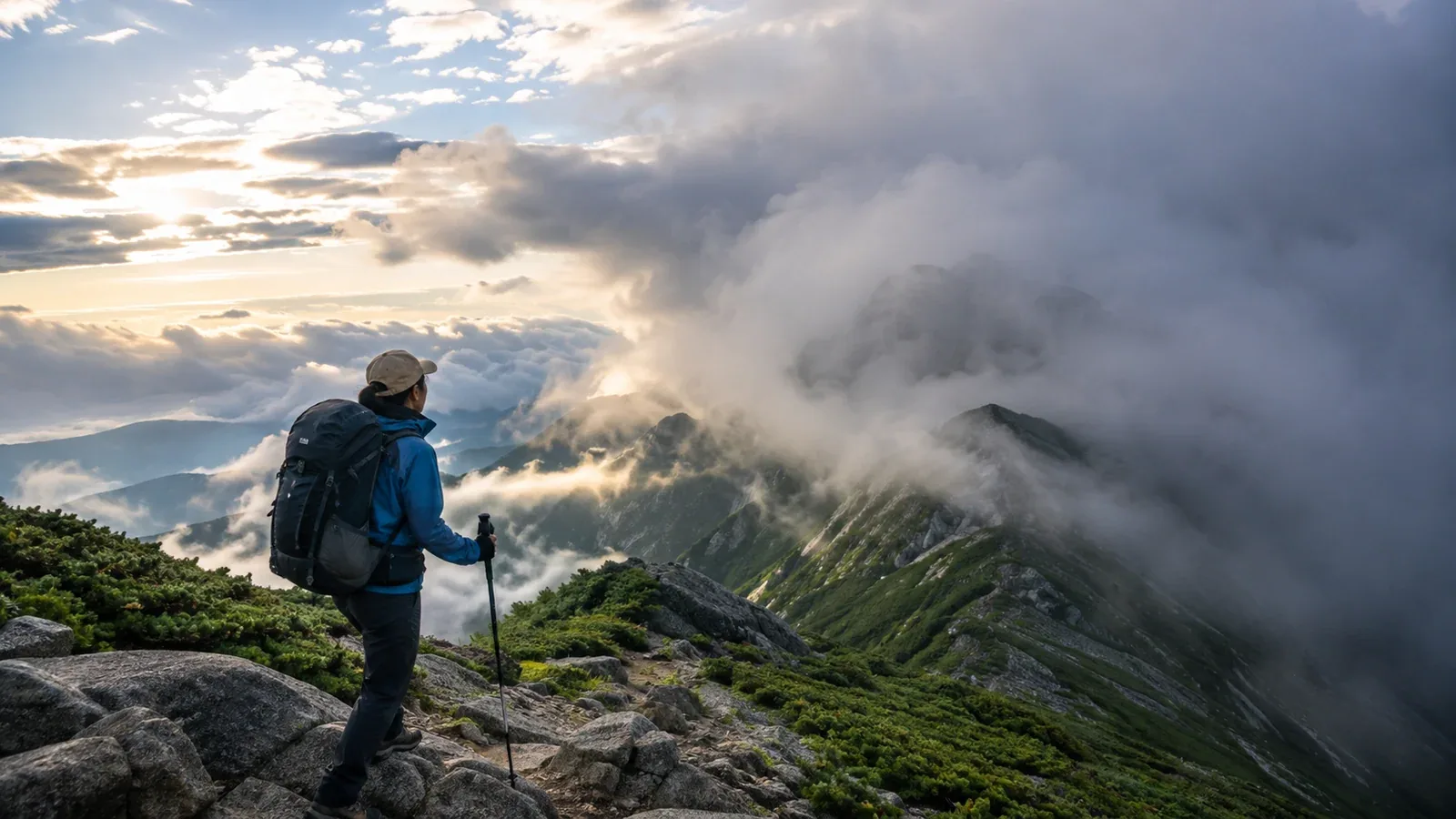
The forecast says sunny, but the summit is in cloud. Or the sky is clear at the start and thunder rolls before noon. The forecast may be wrong, or it may apply to a different location or elevation.
If a forecast seems to miss, check which forecast you used, for which location and which period. Understanding why mountain weather differs changes what you check before leaving and when you decide to stop.
Why a lowland forecast can differ from mountain weather
The Japan Meteorological Agency uses surface and upper-air observations and numerical models to forecast weather for specified areas or points. A forecast area can contain mountains with more than 2,000 m of relief.
Even when the lowlands are sunny, moist air rising up a slope can cool to its dew point, causing water vapor to condense into cloud. The dew point is a temperature. A correct valley forecast can still leave out clouds near the summit.
How terrain shapes weather
A mountain can lift air. When moist air rises over a slope, it cools and can form clouds and precipitation. The windward slope can be rainy while the lee slope is sunny at the same time.
Sun-warmed slopes can also produce upslope or valley winds during the day. Rising air can help build afternoon thunderstorms. Clear skies in the morning and a sun icon in the forecast do not eliminate this possibility.
Terrain effects can be very local. A broad forecast model can miss differences between ridges, valleys and slopes that face different directions.
Grid spacing and update timing
Numerical models calculate atmospheric conditions on a grid. Finer grids represent more local terrain detail, with a greater computing cost. Some commonly used grids are several kilometres apart, which smooths narrow valleys and steep ridges.
Forecasts update as new information becomes available. The morning forecast can differ from the previous evening's version. Check the latest forecast before leaving.
What to look up and where
- Regional forecast: The Japan Meteorological Agency forecast for the prefecture or area.
- Mountain point forecast: A specialist weather provider's estimate for a specific place or elevation.
- Upper-air charts and wind profilers: Upper-air charts show temperature, wind and other features on pressure surfaces. A wind profiler observes wind direction and speed above its site.
- Local information: Mountain huts, trail managers and local authorities report trail conditions and official notices, especially as fronts or typhoons approach.
What happens when you rely too heavily on a forecast
These three mistakes are common when you are starting out.
1. Decide from yesterday's forecast alone. Conditions and forecasts change. Check the latest forecast, warnings and advisories in the morning and again before leaving.
2. Read “sunny in the morning” as “sunny all day.” Thunderclouds can grow in the afternoon. If the forecast allows for storms later, plan to finish early or choose a route with an appropriate shelter you can reach in time.
3. Ignore changes in cloud and pressure. Take early cloud growth, a wind shift or a pressure drop seriously. Pressure also changes when you climb or descend. Compare changes at the same location with the sky and current weather information before acting on a device log.
Making weather decisions on the trail
Use forecasts for what they cover and fill in gaps with observations on the route.
Compare the JMA regional outlook with a forecast for your mountain point. Then study the terrain. A map and local guides can help you identify the windward and lee sides and learn whether afternoon thunderstorms are common.
Agree on specific turnaround or shelter triggers before leaving. If you hear thunder, head immediately for a substantial building or an enclosed metal-roofed vehicle with the windows closed. You can also agree on a visibility level below which you will stay off the ridge. These decisions are easier to keep when made before summit pressure sets in.
Mountain weather will always have some uncertainty. With experience, you learn to combine several forecasts with what you observe instead of expecting any one prediction to settle the decision.
Before you go
Check both the JMA forecast and a mountain forecast the day before and on the morning of the hike. Use them to write a descent deadline or an agreed time to be off the ridge into the plan. A certified guide through Nordwand can help you learn to make these decisions on the trail.
Further reading
- Japan Meteorological Agency, mountain weather information
- Japan Meteorological Agency, upper-air charts and wind profilers
- National Police Agency of Japan, annual mountain incident statistics
References and sources
- Japan Meteorological Agency, forecast uncertainty and ensemble forecasting
- Japan Meteorological Agency, temperature and humidity terminology
- Japan Meteorological Agency, wind profiler observations
- Japan Meteorological Agency, protecting yourself from lightning
- U.S. National Weather Service, Lightning Tips