
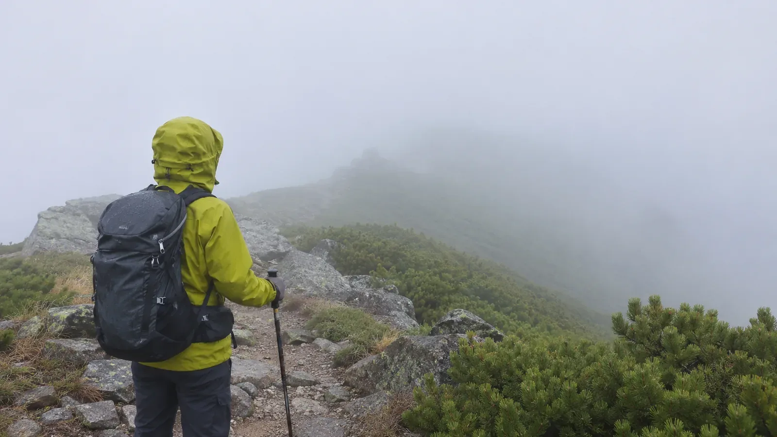
In mountain fog, say which direction you’re looking and what you can see. If you know how far away a landmark is, give the estimate and how you got it. An estimate by eye is less precise than a meteorological observation. Use Japan Meteorological Agency terms to keep what you observed separate from what remains unclear.
Horizontal visibility can differ by direction
The Japan Meteorological Agency (JMA) defines visibility as the distance you can see horizontally. When it varies by direction, the shortest is generally used. For spoken information, JMA uses the plain-language term for how far you can see. Looking down at your feet is a different observation. Check whether trees or terrain hide a distant object before attributing the obstruction to fog.
Tell your partners what you can see ahead, to the sides and at your feet. For example, “I can see the sign ahead, but I can’t make out the right edge of the trail.” The point is to explain what you can see where it affects movement. If you’re unsure of the distance, say “distance unknown.” Stay away from edges and slopes you can’t see while checking.
How fog, dense fog and mist are defined
JMA defines fog as suspended water droplets reducing visibility below 1 km. Mist involves droplets or damp particles reducing visibility to at least 1 km and under 10 km. Dense fog refers to about 100 m or less on land and 500 m or less at sea, with some regional variation in advisory thresholds. Fog can leave you able to see several hundred metres or make even a few metres hard to see.
JMA gives no formal observation definition to kasumi, an everyday Japanese word for a hazy appearance. Saying something “looks hazy” gives little information about what disappeared or how far away it is. Fog categories describe the weather. Avoid using 100 m as a minimum for continuing or waiting until visibility falls that far before turning back. Footing, trail clarity and whether you know your position all matter.
Mountain cloud and the different ways fog can form
The Obihiro Weather Station’s hiking guide says fog can form suddenly. In Japanese hiking usage, gasu can describe being inside a cloud on the mountain. Air forced up a slope can help clouds form or develop. Saying only “the fog has moved in” gives the group no distance or reference point. Add what you can see and in which direction.
Avoid using the appearance alone to decide how the fog formed or when it will clear. Clouds on a mountain change with place and time. Report “I think it will clear soon” separately from “I can’t see the next sign right now.” If conditions change, update the group and include the time of the previous report.
Prepare a format for reporting distances
Before leaving, choose landmarks you can locate on a topographic map and estimate their distances where useful. Some signs or rocks won’t be marked. If you can’t match a landmark to the map, describe its shape or direction and leave its identity open. Avoid walking farther into fog to measure a distance. Stop somewhere safe and check the map and your position.
Give the time, your position and how sure you are of it, the direction you’re looking, the object you can see and its distance if known. Include any landmark beyond it that you can’t see. For example, “Around 10:00, confirmed at the junction on the map. I can see the sign ahead but can’t make out anything beyond it. Distance to the sign unknown.” Give your location separately from visibility and say when you’re guessing.
A 2015 report by Japan’s Fire and Disaster Management Agency describes a case where fog prevented an aerial search. Plan how you will communicate and what to report if you need help, since aircraft availability depends on conditions. The Obihiro guide suggests asking a contact on lower ground, if you can reach them by phone, how far up the mountain the cloud extends. That view is separate from the footing on your route. Plan for sections with no phone signal.
If you can’t make out the landmarks and lose confidence in your position or the correct route, avoid pressing ahead. Japan’s National Police Agency recommends practising with map and compass, using a mapping app alongside a paper map, and ending a hike early if visibility deteriorates. Check the route and footing before retracing your steps. Avoid descending an unfamiliar way or entering a slope to look for a landmark.
Summary: report direction, object and distance
Give the time, direction, visible object and distance if known. Report your location separately and say which landmarks or distances are uncertain. Horizontal visibility and what you can see at your feet are different observations. Use terrain and navigation as well as visibility to decide whether to shorten or cancel. If you lose the route or your position, stop before going any farther and check.