
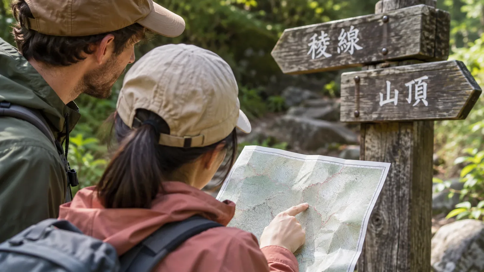
A place you learned by its romanised name on the map may appear only in kanji on the trail sign. On a hike with friends from abroad, matching the forms of each name helps everyone follow the route. Check how to read the name, where it is on the map and which way you’ll go next.
Put names and pronunciations in the itinerary
List the departure station, trailhead, main junctions, summit, exit trailhead and return station in the itinerary. Check the Japanese spelling and pronunciation of each name and the romanisation used by the transport operator or managing authority. Compare with official maps and timetables instead of relying only on a translation app.
The same name can be written differently in different sources. Similar-sounding names can also refer to different places. Check the map location, nearby streams or ridges and the station or bus stop you’ll use before deciding that two names refer to the same place. Record alternative spellings together.
The Geospatial Information Authority of Japan shows how to select a label in GSI Maps Vector to see its kana reading. The example shows the reading Tsukuba-san (筑波山 / つくばさん) for Mount Tsukuba. The authority’s multilingual map is a trial release that includes automatically converted names. Check the spelling you’ll share against the transport operator’s information for stations and the trail manager’s information for junctions.
Compare signs with the map on the trail
At a junction, stop somewhere safe and check the place name and arrow on the sign, where you are and where you’re going next. If two arrows point to the summit, use the map to check what each route passes and whether it crosses a stream. Turn the map to match the actual trail and make sure everyone is pointing to the same route.
The Kumano Kodo tourism guide says many routes have numbered waymarkers and that paper maps are available at information centres. When noting a number, include the time you passed and a nearby place name. Other mountains have different markers and maps, so consult the guidance for the section you’ll visit.
If you can’t read a sign or it doesn’t match the map, stop somewhere you won’t block the trail and check. Watch your footing and surroundings if you take a photo and zoom in. If you still can’t locate yourself, avoid pressing on. Follow what you agreed in advance, such as returning to a confirmed point.
Make the information available to everyone
Put the Japanese names next to a version your companions can read. Link them to numbers or reference points on the map. If you print a map, keep place names and contour lines visible and explain any symbols you add. Check the source and licence terms before copying or distributing it.
Make sure everyone can access the itinerary on their own. Test before leaving whether it’s available without a signal. A paper map or note is another option. Ask each person what text size and language they find readable.
If you need to ask transport staff for help, it’s useful to be able to show the station or stop name in Japanese. Share the booked service, boarding point and meeting point with the map. Make the return station especially clear if it differs from the station you started at.
Prepare for changes and emergency communications
If weather or someone’s condition changes where you’ll come down, check the name and location of the new trail exit together and tell the people you shared the plan with when you can. Confirm access and transport after the descent before choosing an unfamiliar alternative. A translated name alone is not enough.
The Japan National Tourism Organization lists police contacts and services for visitors. Before leaving, check the latest official information and give everyone the numbers they may need and an itinerary they can read. Discuss how you’ll get in touch if you’re out of reception.
After getting home, record any spellings that looked different on the map and on signs, and note useful landmarks. Signs and trail conditions can change. Check the managing authority’s latest guidance before the next trip and keep your personal notes separate from official access information.
Recap: check names and locations together
Choose landmarks for the way back too and discuss how far you’ll go before dark. When you prepare how to read a sign and where it belongs on the route, your companions can check the way themselves.
Match the Japanese spelling, pronunciation and official romanisation to the location on the map and share them with everyone. If they don’t match in the field, stop and check the route and where you are.