Tokyo's highest peak — at a three-prefecture junction
Mt. Kumotori rises 2,017 m (6,617 ft) at the three-prefecture corner of Okutama (Tokyo), Chichibu (Saitama), and Tabayama (Yamanashi). It sits at the heart of Chichibu-Tama-Kai National Park and is the highest peak in metropolitan Tokyo. Kyūya Fukada included it in Nihon Hyakumeizan as the principal peak of the Chichibu-Tama system close to the capital. At just over 2,000 m, the elevation is modest, but the trailhead-to-summit distance is long enough that single-day push climbs are impractical — Kumotori is a two-day mountain by structure.
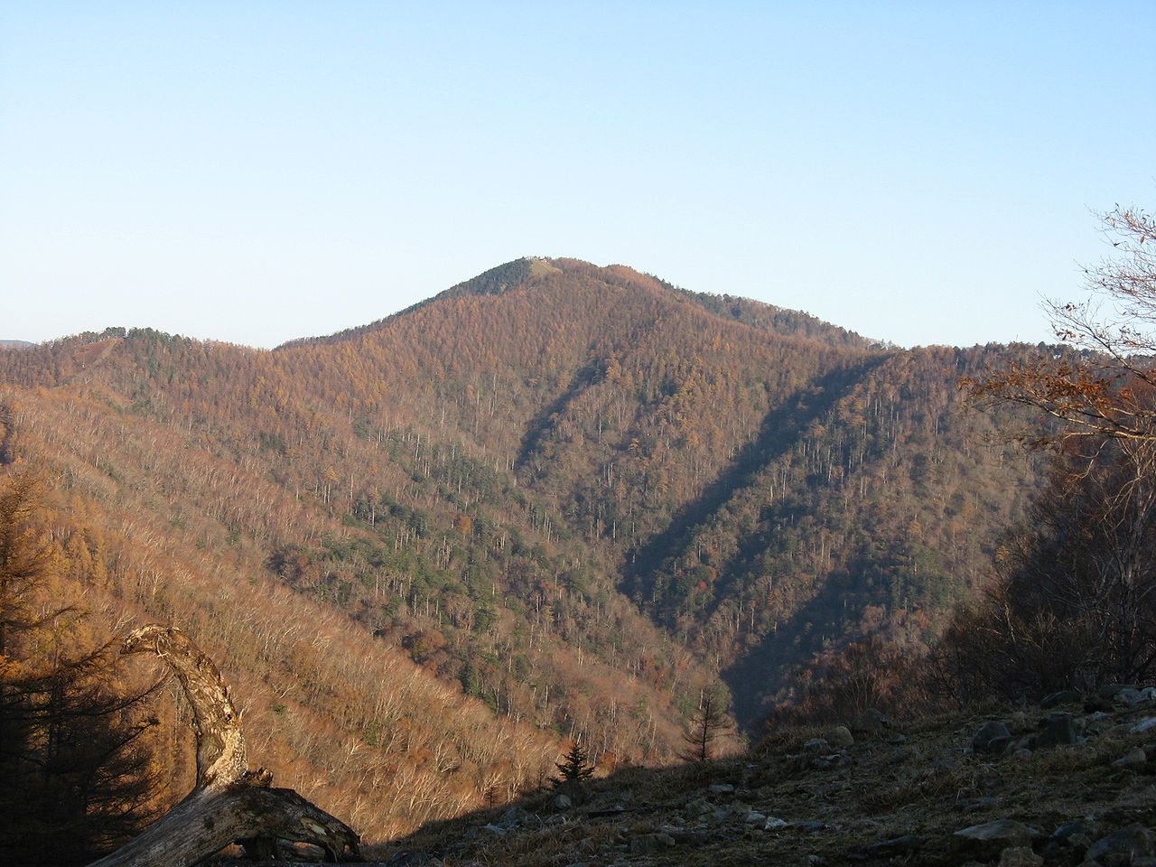
Kumotori's defining oddity is that it is Tokyo's highest mountain — and almost invisible from anywhere in Tokyo. While Mt. Fuji shows itself across the metropolitan area, Kumotori sits beyond Okutama Lake, hidden in the depth of the Okutama range. It is 'the closest serious 2,000 m peak to Tokyo' — the top of the Okutama climbing pyramid, beloved as a weekend hut-night trip by Tokyo climbers for generations.
The Kamosawa route — the standard from Okutama
The most standard route is the Kamosawa route from Okutama. From Kamosawa bus stop (540 m) on the shore of Okutama Lake, the trail climbs past Dōtokoro, Nanatsuishi hut, Mt. Nanatsuishi, Buna-zaka, the old Okutama hut site, and Mt. Ko-Kumotori to the summit. About 1,500 m of vertical gain, 5–6 hours up and 3–4 hours down. The standard plan is to climb to Kumotori Sansō hut on day one, summit on day two, and descend.
The second main route is the Saitama-side Mitsumine Shrine route. From Mitsumine Shrine (1,100 m), the trail goes through Kirimo-ga-mine, Mae-Shiraiwa, Mt. Shiraiwa, and Imo-no-ki-Dokke to Kumotori. About 900 m of vertical, 5–6 hours up. Less vertical than the Kamosawa route but more distance — and a more sustained Oku-Chichibu ridge walk. Climbing from Mitsumine, sleeping at Kumotori Sansō, and descending to Kamosawa is the classic two-night Kumotori traverse.
Kumotori Sansō — effectively the only hut
Staffed huts on Kumotori are scarce. Kumotori Sansō, at about 1,830 m just north of the summit, runs year-round and effectively every Kumotori climber stays here. Capacity is about 200 — large for the Okutama region — and amenities are unusually good for a mountain hut, with hot showers and sukiyaki dinners. Peak-season reservations are required weeks in advance.
The Nanatsuishi hut midway on the Kamosawa route is a smaller rest-and-tent hut. The Shiraiwa hut that historically served the Mitsumine route is now closed, so Kumotori overnighting is essentially 'Kumotori Sansō only'. Sanjō-no-Yu hut on Kumotori's south side, at 1,100 m, is a hot-spring hut for climbers using the back-mountain Sanjō-Darumi route. The trip planning equation is therefore simple — book Kumotori Sansō first, work everything else backwards from that date.
Year-round climbing — season and gear
Kumotori's snow-free climbing season runs roughly April through November. Because Kumotori Sansō stays open year-round, winter climbing is also popular, with light crampons and full winter kit required on the ridge. Kumotori is one of the few serious year-round-climbable mountains near Tokyo. May fresh green, summer hiking, late-October autumn colour, and bare-winter ridge each offer a different mountain.
Gear assumes a long day at 2,000 m. Fleece and a wind- and waterproof shell are not optional; mid-cut or higher boots; a 30 L+ pack for the standard overnight. The Kamosawa route's 1,500 m vertical demands real fitness, and trekking poles meaningfully help on the descent. Winter climbing requires light crampons, a real winter shell, and spare insulation. A single-day push is technically possible from Kamosawa but means over 10 hours of book time — not recommended.
Sunrise from the Kumotori summit takes in the Tanzawa hills and Sagami Bay to the east, Mt. Fuji to the south, the Southern Alps and Yatsugatake to the west, and the Oku-Chichibu ridges to the north — a panorama rarely available this close to Tokyo. Staying at Kumotori Sansō, leaving by headlamp pre-dawn, and reaching the summit at sunrise is one of the central pleasures of the climb. Mt. Fuji turning orange in the first light is 'the morning of a 3,000 m peak' available from the closest spot to Tokyo.
Okutama Station and Mitsumine Shrine: access from the city
Access for the Kamosawa route runs from Okutama Station on the JR Ōme line by Nishi-Tokyo Bus to the Kamosawa bus stop, about 35 minutes. Private cars park at the Kamosawa-Nishi or Kosode-Norikoshi lots near the trailhead. For the Mitsumine route, the Seibu Chichibu line reaches Seibu-Chichibu Station, then a Seibu Bus runs to Mitsumine Shrine in about 75 minutes; cars park at the shrine.
From Tokyo, Shinjuku to Okutama by the JR Chūō and Ōme lines takes about 2 hours; the Seibu Shinjuku limited express to Seibu-Chichibu takes about 1.5 hours. By car, the Chūō Expressway from Hachiōji IC or the Kan-etsu Expressway from Hanazono IC takes about 90 minutes. Kumotori is the only serious 2,000 m peak in Tokyo's hinterland reachable on public transport — particularly valuable for car-less Tokyo climbers. After descent, the Moegi-no-Yu hot spring near Okutama Station or Ōtaki Onsen on the Mitsumine side handle the rinse-off. Climbing Kumotori is at once standing on the highest point in Tokyo and walking the closest 'deep mountain' country to the capital — a particular Okutama experience.


