
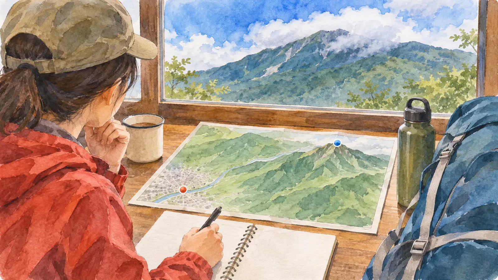
Before a hike, note the area or location behind each forecast figure. Prefectural precipitation probabilities are issued by area, temperatures refer to specific forecast points, and gridded forecasts describe a cell. These figures may differ from the conditions at the summit. Here’s how to compare your route with the places covered by the forecast.
Prefectural forecasts describe areas and specific forecast points
The Japan Meteorological Agency (JMA) issues prefectural forecasts at 05:00, 11:00 and 17:00, with revisions if conditions change rapidly. Each forecast covers a subdivision of the prefectural forecast area. It includes weather, wind and waves for today, tomorrow and the day after, along with precipitation probabilities in six-hour blocks and high and low temperatures through tomorrow. What looks like a town forecast often describes the broader area.
The precipitation probability is the chance of at least 1 mm of precipitation in the forecast area. It is issued in 10-percentage-point increments for six-hour periods. A forecast of 20% means precipitation would occur about 20 times in 100 comparable situations. The number tells you whether that threshold may be reached, regardless of the intensity or total. A high probability can still mean light precipitation. The same published probability applies at any point in the forecast area. It gives the chance of at least 1 mm of precipitation and offers no separate estimate for the summit. It can’t show whether it will rain at the summit while the trailhead stays dry, or the reverse.
Forecast temperatures refer to weather offices, observatories or sites in JMA’s Automated Meteorological Data Acquisition System (AMeDAS). Regional time-series forecasts likewise show temperatures at named points and wind direction and speed representative of an area. Find the temperature point on a map and check its elevation before using the value for the trailhead or summit. Weather icons may leave out changes during the day, so check the written forecast and regional time series too.
Gridded weather forecasts describe a cell
JMA’s gridded forecast divides Japan into squares 5 km on a side and uses colors to show weather, temperature and precipitation through midnight tomorrow. It comes out at 05:00, 11:00 and 17:00. Each three-hour weather label describes representative conditions in the cell, and the temperatures and three-hour precipitation totals are cell averages. Older guides sometimes mention 20 km squares. JMA switched to 5 km squares in March 2020. Consult the current product description.
The Obihiro Weather Station’s guide for the Tokachi area points hikers to the gridded forecast. It provides a finer view than an area-wide forecast, but terrain and elevation still vary within each cell. Even if the trailhead and the summit fall in the same cell, conditions can differ from the average at both. Use the grid to see which cells your route crosses and how the outlook changes in adjoining cells.
A worksheet for comparing forecast locations with the route
Here’s a method suggested by the editors. The night before, write down four items for the time you expect to be on the trail. Alongside each number, note what it actually describes.
For precipitation probability, find the six-hour block covering your hike and label it “chance of at least 1 mm of precipitation at a point within the forecast area.” For temperature, record the named point and use a map to see where it lies relative to the trailhead and summit. Wind direction and speed represent an area, with speed averaged over ten minutes. JMA’s “rather strong” means 10 to under 15 m/s, strong enough to make walking into the wind difficult. If the trailhead and summit are in separate grid cells, compare their weather and precipitation in three-hour steps.
If area and gridded forecasts differ, first check that they refer to comparable times and locations. Then consider shortening or calling off the hike if conditions could turn difficult along the way. Build in a margin beyond the forecast figures, for example by setting a turnaround time based on how long the return will take. Check more than the area’s representative wind value before committing to an exposed ridge.
Change forecast sources as the date approaches
Several days ahead, check the weekly outlook for broad trends. Its daily precipitation probability covers the whole date, while the prefectural forecast uses six-hour blocks. The weekly outlook comes out at 11:00 and 17:00, and gives confidence grades A, B or C for whether precipitation will occur from day three onward. The Obihiro guide recommends checking nearby areas and adjacent days. Forecasts change as new issues come out. Use the latest information for decisions on the day.
The day before and the day of the hike, check the latest of the 05:00, 11:00 and 17:00 forecasts. The previous 72 hours of rainfall can help you assess trails and streams. The Obihiro guide also recommends checking the outlook beyond your planned descent in case you are delayed. Watch for large changes in the weather around typhoons and stationary fronts such as the early-summer and autumn rain fronts.
For a last check, JMA’s “Rain Cloud Movement” and “Upcoming Rain” are useful. Short-range precipitation forecasts reach up to 15 hours, so an evening check can give you a view of the following morning. Within the first six hours, the forecast accounts for terrain and for rain intensifying or weakening, with numerical models contributing later in that range. Local downpours can still form without being predicted, and radar can show echoes where no precipitation is reaching the ground. Use current forecasts alongside what you see in the field. Check before leaving in case you lose mobile signal in the mountains.
Summary: note where each figure applies
In prefectural forecasts, precipitation probability is issued for points across the area, temperature for a named location, and wind as a representative value for the area. The gridded forecast gives representative conditions or averages for 5 km squares. Compare the published locations and coverage with your trailhead, ridge and descent route. Align forecast times and locations before comparing them, and have a shorter option and a turnaround time ready.
References and sources
- JMA: Weather forecasts
- JMA Obihiro Weather Station: Before you go into the mountains
- JMA: Gridded weather forecasts
- JMA: Questions about weather forecasts and weather charts
- JMA: Precipitation nowcasts and short-range forecasts
- JMA: Improvements to gridded and time-series weather forecasts (March 13, 2020)
- JMA: Weekly weather forecast