
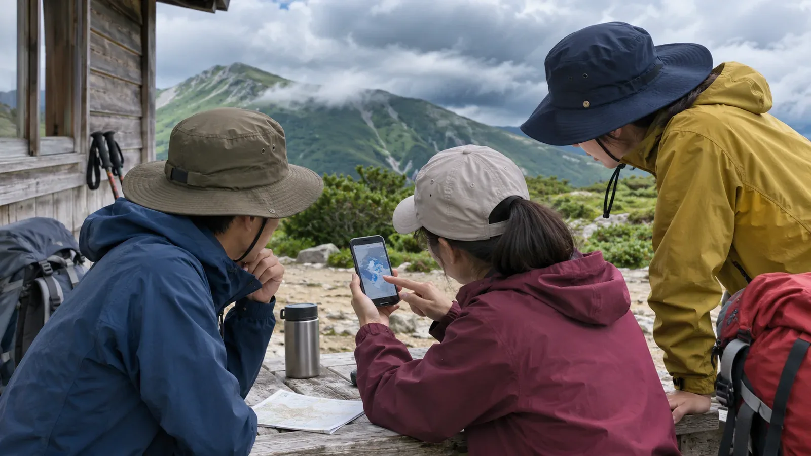
When you share a forecast, include the provider, area, issue time and date and time covered. You can be talking about the same mountain while looking at different forecast areas or an older issue. Here’s how to make a shared note based on how the Japan Meteorological Agency publishes and updates forecasts.
People on the same trip may be looking at different forecasts
The Japan Meteorological Agency (JMA) says different providers may give different forecasts for the same place. A provider can also change its forecast as observations and calculations are updated. Prefectural forecasts come out at 05:00, 11:00 and 17:00, with revisions if conditions change rapidly. Everyone can use the same site and still see different information.
The editors see at least three possible reasons for disagreement: a different provider, a different update, or a different area or location. Knowing the possible cause lets you talk about which details differ before deciding what to do. Start by lining up the source and time.
What to put in the shared note
A pinned chat message or a sheet of paper works. The editors suggest including the following five items.
First, record the forecast’s name and link, including whether it’s a prefectural, weekly or gridded forecast. Second, record the local forecast area that includes the mountain. Third, note the temperature forecast point. Its name may differ from the trailhead or summit. Fourth, record the issue date and time and when the forecast applies. Alongside “17:00 issue,” include the date and the date and hours covered. Fifth, agree when to check again and what to do if you can’t contact one another. Share the plan before reception becomes an issue.
Recording issue times keeps yesterday’s forecast separate from today’s. A different time doesn’t mean the content changed. Compare the same valid period to see which items actually differ. Record when you looked at it separately from when it was issued, so it’s easier to tell if you saw an older issue.
What to check before departure and on the day
The Obihiro Weather Station’s hiking guide suggests roughly three days as a useful horizon for details such as skies clearing in the evening. The weekly forecast comes out at 11:00 and 17:00. The guide recommends checking nearby areas and the days around the hike. The precipitation probability covers the entire day. From day three onward, forecasts for whether precipitation will occur get an A, B or C confidence grade. Check the days after the planned descent in case you’re delayed. This guide is for Tokachi and nearby areas, so account for local conditions elsewhere.
The day before and the day of the hike, use the latest issue available. The gridded forecast gives three-hour weather and mean precipitation through the end of tomorrow. Grid averages or representative conditions can differ from those on a particular ridge. Plan to check the same details the previous evening and just before departure. If you leave before 05:00, that day’s 05:00 issue won’t yet be available. Check for revisions, warnings and advisories right before leaving regardless of the release time.
Just before departure or on the trail, check JMA’s “Rain Cloud Movement” and “Upcoming Rain.” The short-range forecast extends to 15 hours, with different update schedules and methods for the first six hours and for hours seven to fifteen. The first six hours account for the movement of rain, terrain and changes in rainfall, with numerical models contributing later in that window. Local downpours can still be missed, and radar can show echoes where nothing reaches the ground. Share the last information and its time before losing reception. A shared screenshot won’t update.
Agree how to decide if the group reads things differently
People can interpret the same forecast differently. Precipitation probability is the chance of at least 1 mm during a specified period. It doesn’t give intensity or amount. “Occasional rain” means intermittent rain totalling less than half the period. “Temporary rain” means a continuous spell lasting less than a quarter of it. Wind speeds are ten-minute averages, and “rather strong” means 10 to under 15 m/s, strong enough to make walking into the wind difficult. Agree in advance what you’ll discuss if those terms appear.
Start by checking the same location and period. If you have different information, share the provider and issue time. Take forecasts for difficult conditions seriously and find out where they differ before revising the itinerary. Give everyone a chance to raise concerns or changes in how they feel, and agree that shortening or canceling are options. Practise opening the same forecast and reading its dates, times and locations together to catch different interpretations of the display.
Summary: share the source, area and issue time
Send the forecast name and link, area, temperature point, issue time, valid period and next check time. Give everyone a way to see what the discussion is based on. Mark old releases and screenshots with their times and distinguish them from current forecasts and field observations. If forecasts still differ or someone is concerned, discuss how to adjust the route.