
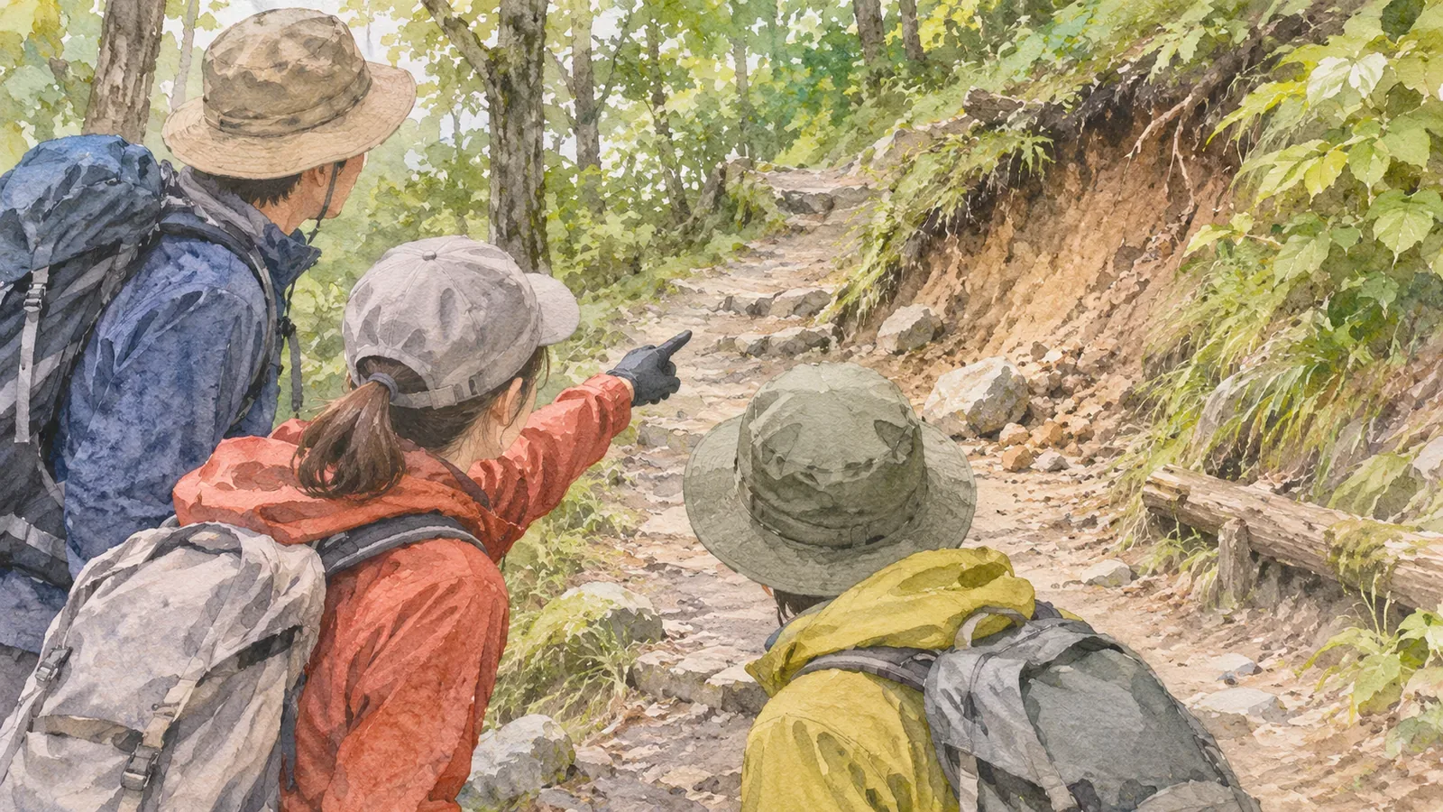
When a familiar trail feels different, tell the group what you noticed while it is still a question. Saying “I'd like to check that we're on the right trail” can start a check without declaring a wrong turn. Drawing on guidance about comparing maps and signs, here is a short way to share what you saw, what concerns you and what you want the group to check.
What the figures tell us
In the National Police Agency's 2024 report, 1,021 of the 3,357 people involved in mountain incidents got lost (30.4%). The share covers people picking wild plants or mushrooms and people sightseeing. It does not estimate the incident rate among all hikers or compare people who were on familiar trails with companions or who spoke up about a concern.
The figures cannot show how much speaking up helps. The suggestion here gives the group a way to check its position when someone is unsure. Prepare so everyone can check the map and the planned route, even when someone else is leading.
The sources reviewed here do not say that accidents are more common on familiar mountains. What follows is an editorial proposal for using the observations of your companions to check what you might overlook on a route you know.
Put the concern into words: signs, surface, terrain or time
Hiking guide Daisuke Washio writes in YAMAP MAGAZINE that at a junction you should check the direction of the sign that names the destination. Where a hiking trail splits off a forest road, it is easy to follow the smoother road. Tape attached to trees may be there for work unrelated to hiking and can lead people the wrong way. Dense fog or blowing snow can make it easy to lose the route on gentle terrain.
Our suggestion is to name what feels wrong in one of four areas. Signs: does the direction or place name match what you remember? Surface: did the path suddenly get wider and easier to walk on? Terrain: are the streams and ridges in the order you expected? Time: did the same section take a very different amount of time? The four areas are an editorial prompt to help you say what changed in a few words.
A discrepancy can also come from the map. In March 2018, the Geospatial Information Authority of Japan used hikers' recorded routes to correct significant differences between the topographic maps and the main trails in Kamikōchi and Yatsugatake. Some rerouted sections had been missing. The release gives no information about later revisions or the maps' current state. If the trail looks different from the map, establish where you are before trying to settle which source is right.
Share a concern in three short steps
You can speak up while you are still unsure. Try saying what you saw, what concerns you and what you would like the group to check. For example: “The path got wider after that junction.” “We may have gone onto the forest road.” “Can we check the sign and work out where we are?”
If someone raises a concern, stop and check together. If the route turns out to be right, acknowledge it and move on. Avoid teasing someone over a false alarm. The editorial team thinks a dismissive reaction can make it harder to speak up next time.
YAMAP recommends checking a map or GPS app early when something feels off. The National Police Agency recommends carrying a map and compass, checking your position, and using paper and app maps together. Check your footing and surroundings and stop before using them. If the route remains unclear, stop progressing. Turn back if you know the return and can follow it safely. If the return is also unclear or you cannot move on your own, avoid wandering and call for rescue.
Make three agreements and practise on paper before leaving
The Central Council for Mountain Accident Prevention's July 2019 summer guidance recommends that the whole group review the trip plan and consider escape routes. The National Police Agency also recommends identifying escape routes in advance and sharing and filing the plan with companions, family or work as appropriate. The council's document addresses summer hiking. Check the guidance for other seasons separately.
The editorial proposal is to agree on three things before you go. First, choose a signal anyone can use to ask for a check. Leave time to stop and work it out. Second, identify decision points, the return and escape routes on the map. If you are unsure where you are, avoid walking blindly toward one of those points. Third, make sure everyone can see where the group is, including people who are not leading.
For a paper exercise, use the YAMAP guide's suggestion to put changes in terrain into words before departure and check them on the trail. Open the map the night before and take turns describing the order of the next section: “cross the stream, climb onto the ridge, then cross a wide forest road.” Have the others compare with the map and point out differences. On a familiar trail, describing the order again with the map open helps you check what you usually recall from memory.
If you use an app, read its official instructions and save the maps you need before leaving. YAMAP, for example, says downloaded maps can be used offline. Try opening the saved map without a connection and check the position display somewhere safe outdoors. These tests cannot establish accuracy or reliability in the mountains. Since phone coverage and battery life can limit your ability to call for rescue, bring a paper map, compass and spare power.
Share the concern while it is still a question
Getting lost was the most common category in the 2024 mountain incident report. The sources reviewed here do not show that familiar mountains are more dangerous. Focus on what seems different about the signs, surface, terrain or timing. Share it with the group in three short steps and check where you are. If you cannot establish the way forward, stop and check whether you can return safely. Ask for help if you cannot return on your own.
Before the next hike, agree on a signal, decide where you would turn back and make sure everyone can see the group's position. Say the sequence of terrain features out loud the night before. The agreement gives the group a way to make the decision together.
References and sources
- National Police Agency of Japan — Overview of mountain incidents in 2024
- YAMAP MAGAZINE, Daisuke Washio — Skills and habits for avoiding getting lost
- Central Council for Mountain Accident Prevention — Summer mountain safety notice and gear checklist (July 2019)
- Geospatial Information Authority of Japan — First topographic maps with trails corrected using movement data (March 7, 2018)
- YAMAP — A simpler flow in the redesigned app (updated August 17, 2026)