
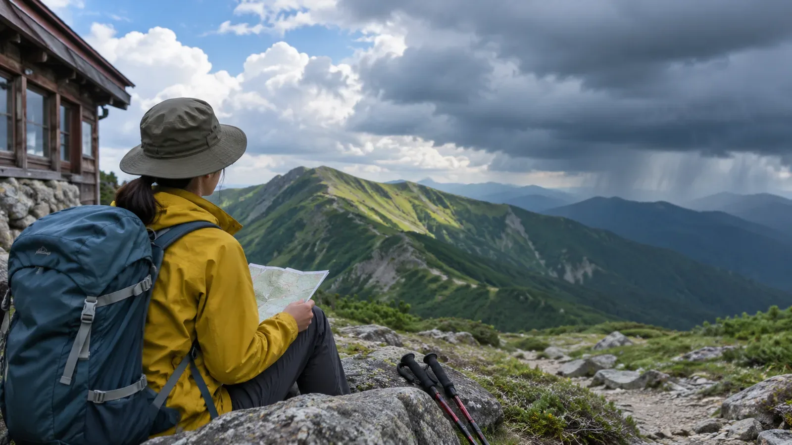
Lay the forecast alongside your itinerary to see where you will be when conditions might worsen. Include the time you expect to be off the ridge and the journey after the descent, along with your summit time. Here’s how to use the Japan Meteorological Agency’s forecast periods to revisit your plan.
Forecasts use different time steps
The Japan Meteorological Agency (JMA) issues prefectural forecasts at 05:00, 11:00 and 17:00 and revises them if the weather changes rapidly. They cover weather, wind and waves for today, tomorrow and the day after, plus six-hour precipitation probabilities and high and low temperatures through tomorrow. Each forecast describes a subdivision of the prefectural forecast area. An individual summit can have different conditions.
For a closer look at timing, use the regional time-series forecast, published for each local forecast area. It shows prevailing weather every three hours and representative wind direction and speed. The gridded forecast also comes out at 05:00, 11:00 and 17:00. It shows weather and temperature in three-hour steps and gives each cell’s average three-hour precipitation in six bands. These representative values and averages can differ from conditions on a summit or ridge.
The weekly precipitation probability covers a whole day. The figure alone can’t tell you whether precipitation will fall while you’re hiking. A few days before, check the daily outlook and confidence grades for whether precipitation will occur from day three onward. Add the timing from prefectural and regional time-series forecasts as the date approaches. An itinerary can have exact times even when the timing of weather changes several days out is uncertain.
How to lay the forecast alongside your route
Here’s a method the editors suggest. Three-hour and six-hour forecast blocks are broad. Conditions can change at any point within them. On the itinerary, mark a window when conditions could change and leave room on either side.
First, write down the planned times for leaving the trailhead, taking breaks, reaching the ridge or summit, making the final decision to begin descending, and finishing the hike. On the same timeline, add three-hour weather and wind forecasts and six-hour precipitation probabilities. Check how much each window of changing conditions overlaps with places that offer few ways to get off the route, such as a summit or ridge.
Suppose you plan to leave at 05:00, reach the summit around noon and finish descending before 15:00, and the forecast turns to rain in the afternoon. The rain could overlap with your summit stop or descent, so consider a shorter itinerary, a different route or cancellation. You could leave earlier if walking in the dark or getting less sleep won’t create other problems. Afternoon is a broad window. Leave time for the weather to deteriorate earlier than expected.
Check the temperature column too. Forecast highs and lows are for sites such as weather offices and automated AMeDAS stations. These can differ from the summit or trailhead. Write the point name next to the temperature and check its location and elevation. Use other information to assess how cold the ridge may be and what you will need to carry.
How to interpret the words and numbers
The precipitation probability is the chance of at least 1 mm during the stated period. A forecast of 20% means this threshold would be reached about 20 times in 100 comparable forecasts. It doesn’t tell you how much rain will fall or for how long. The published probability is the same throughout the forecast area and doesn’t capture the characteristics of a particular ridge. Check expected amounts and wind alongside it.
“Occasional rain” means rain at intervals for less than half of the forecast period. “Temporary rain” means a continuous spell lasting less than a quarter of the period. Either could occur at some point in the window, so mark the whole period and check whether it overlaps with time on the summit or ridge. Weather icons give priority to rain or snow if either is expected. Check the written forecast or regional time series before assuming a rain icon means all-day rain.
Prefectural forecasts give representative wind direction and strength for an area. Speed is a ten-minute mean. JMA’s “rather strong” means 10 to under 15 m/s, strong enough to make it difficult to walk into the wind. If that description lines up with an exposed ridge crossing, consider changing the itinerary. Conditions can still be unsafe in weaker wind. Account for terrain and footing, and leave room to avoid a difficult crossing.
Revisit the plan the evening before and the morning of the hike
Forecasts change when new observations and calculations become available. Recheck the forecast windows on your itinerary the day before and again on the day. Prefectural forecasts are scheduled for 05:00, 11:00 and 17:00, with additional revisions when conditions change quickly. The Obihiro Weather Station recommends checking rainfall over the last 72 hours to assess trails and streams, and looking at the weekly outlook after your planned descent. Check past rainfall separately from what is expected.
Just before leaving, add JMA’s “Rain Cloud Movement” and short-range precipitation forecast. The short-range product extends to 15 hours, so you can look the evening before for the following morning. The first six hours account for terrain and for rain intensifying or weakening, as well as the movement of precipitation. Numerical models contribute toward the end of that window. Localized downpours can still go undetected in advance. Check the valid time and distinguish observations from forecasts.
You may lose reception in the mountains. Write down when you last checked the forecast and your planned turnaround time on paper so you can refer to them on the trail. Observe the clouds, rain, wind, footing and how your group is doing. If conditions turn poor, act sooner than planned. When using multiple providers, note the issue time and forecast area so you can compare like with like.
Summary: mark weather windows on the itinerary and act ahead of changes
Match three-hour and six-hour forecasts to your route and see whether poor weather overlaps with time on the ridge or summit. Allow for changes coming early or late, and keep options to shorten or cancel. Precipitation probability describes the chance, wind represents an area, and temperature applies to a named point. Use the latest forecasts the day before and the day of the hike. Be ready to make an earlier decision if conditions change on the ground.