
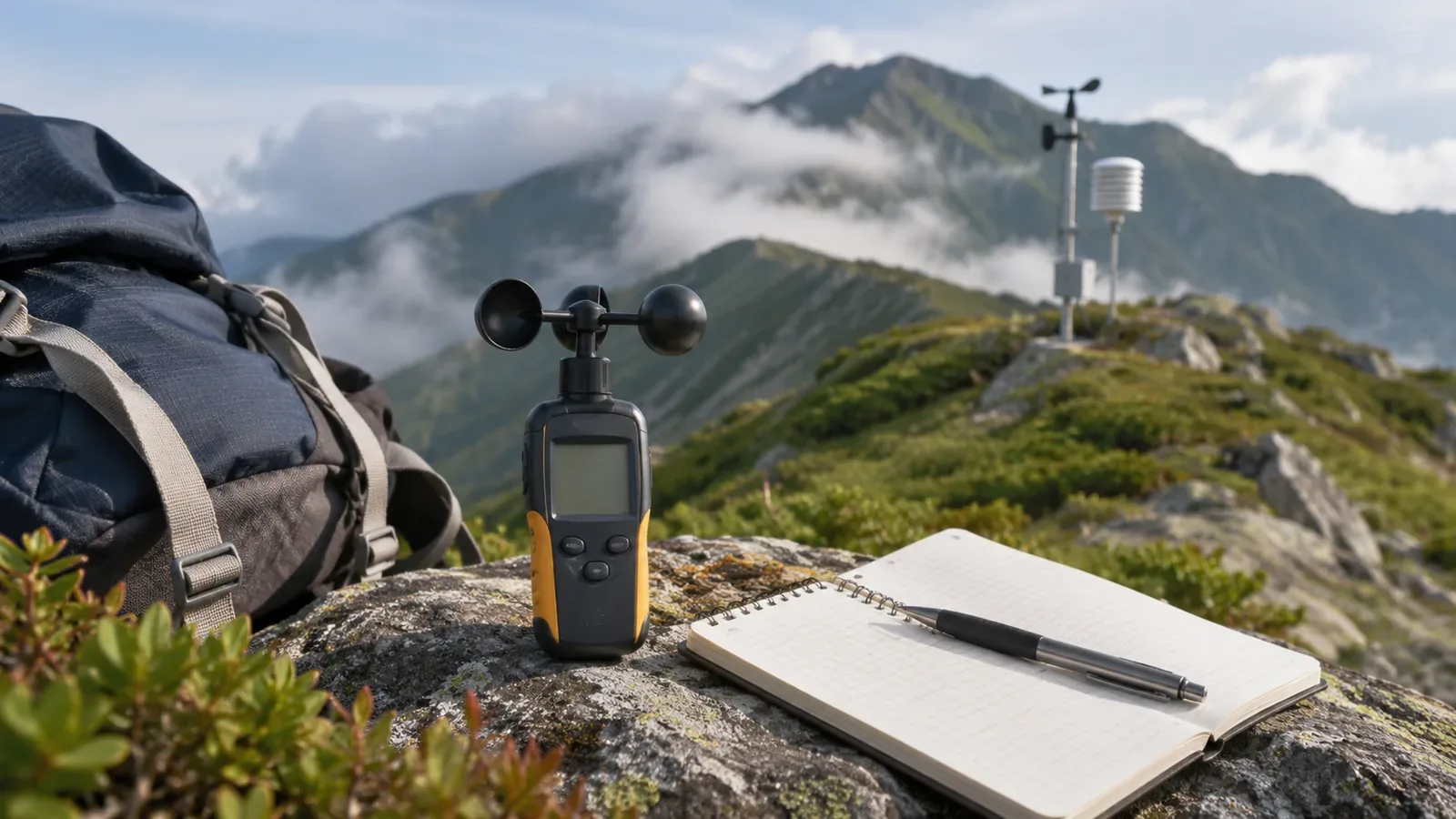
Different wind speeds at two elevations do not establish the effect of elevation alone. The type of reading, observation time, surrounding terrain and instrument setup also matter. It can be useful to look at mountain and lowland values together. Avoid turning a comparison into a fixed multiplier for the summit. Record the conditions and unknowns alongside the figures.
Comparisons break down when mean and gust speeds are mixed
The Japan Meteorological Agency (JMA) uses a 10-minute average up to the observation time. Its current gust speed is a three-second average of 12 samples taken 0.25 seconds apart. The 15:00 mean covers 14:50 to 15:00. The AMeDAS map rounds the on-the-hour value to the nearest 1 m/s. Tables in other formats may round differently.
Maximum wind speed is the highest 10-minute mean in the period. Maximum gust is the highest gust speed in the period. Even the two maxima for one day may have occurred at different times. Dividing them does not give a gust-to-mean ratio for a particular moment. A fixed multiplier on the mean also cannot predict a gust.
The old 0.25-second reading and the current three-second mean reflect a change in method. The JMA announced the change in 2007 and now uses the three-second definition. Hand-held instruments may use other methods. Check the manual for the averaging period and how a maximum is calculated. Comparing the lowland 10-minute mean with a brief reading on the summit cannot isolate the effect of elevation.
The terrain around a station affects what its reading represents
The JMA wind table notes that terrain and surrounding buildings affect wind speed, which may differ substantially from the reading at a nearby station. Each site can experience different wind. Being nearby on a map does not make a station’s reading representative of your position.
In our view, two sites at different elevations usually also differ in whether they are on a ridge or in a valley, what obstructs the wind and how high the instrument is mounted. A comparison with several conditions differing cannot isolate elevation. The references do not list each mountain station’s setup, so check the station’s own documentation. A station at the foot of a mountain is one source of information about possible wind higher up.
Direction, units and wind chill can also cause mismatches
Wind direction describes where it blows from. A north wind blows from north to south. The JMA uses 16 or 36 directions for observations and eight for forecasts. If copying a number, check which convention it follows. Official wind directions use true north, so distinguish them from records based on magnetic north. Label the field “direction the wind came from” to keep it separate from your heading and the direction the wind is going.
The JMA normally uses m/s. One metre per second equals 3.6 km/h or approximately 1.944 knots. If your instrument shows km/h or knots, convert to m/s before comparing.
Feeling cold differs from air temperature. The US National Weather Service wind chill index represents heat loss from exposed skin under defined conditions. It does not subtract temperature in direct proportion to wind speed or calculate individual body temperature from clothing, wetness and activity. Avoid combining a temperature estimate based on elevation with a wind shortcut to establish the cold on the mountain or below. Record air temperature, wind and how cold it felt separately.
Make a comparable record and practise on paper
These are our suggestions based on the sources. Record only when you have time and a safe place to stop. There is no need to stop in an exposed place just to get a measurement.
First, note the observation time and period. For a mean, give the averaging period. For a maximum, give the period from which it was selected. A single gust reading does not establish the maximum in a period. Check the display and units in the manual. For wind direction, record the number of directions and the north reference.
Next, describe the site. Note whether elevation came from a map or device, whether you were on a ridge or slope, in a valley or in woodland, and whether anything blocked the wind. Leave fields for the official station’s name, elevation and time to fill in later. Give air temperature and how cold it felt separate fields.
Before leaving, practise on paper by listing what you know about elevation, terrain and instrument setup for the station and the point on your route. Write one line for what you can conclude and one for what remains unknown. After the hike, match observation and averaging times as far as your records allow. A single reading or short measurement cannot reconstruct an unrecorded 10-minute mean. Mark unmatched conditions.
The JMA table says people may be unable to walk into the wind and some may fall at mean speeds of at least 15 m/s and below 20 m/s. This is an example of effects, rather than a limit for proceeding on a mountain. Terrain, footing and individual condition can create danger at lower speeds. Consider these factors along with the figures.
Compare within the limits of the conditions you can match
Comparing values at different elevations shows what differed in the records. If averaging periods, times and installation conditions also differ, the cause cannot be attributed to elevation alone. Write what, when and how you measured, and keep the differences visible. Put safety first and use official forecasts, warnings and conditions on the ground to revisit the route.
References and sources
- Japan Meteorological Agency, Questions about wind
- Japan Meteorological Agency, Wind terminology
- Japan Meteorological Agency, Wind strength and its effects
- Japan Meteorological Agency, Change to the method for measuring gusts (October 26, 2007)
- US National Weather Service, Understanding Wind Chill
- International Bureau of Weights and Measures, The International System of Units, 9th edition (Table 8, nautical mile and knot)