
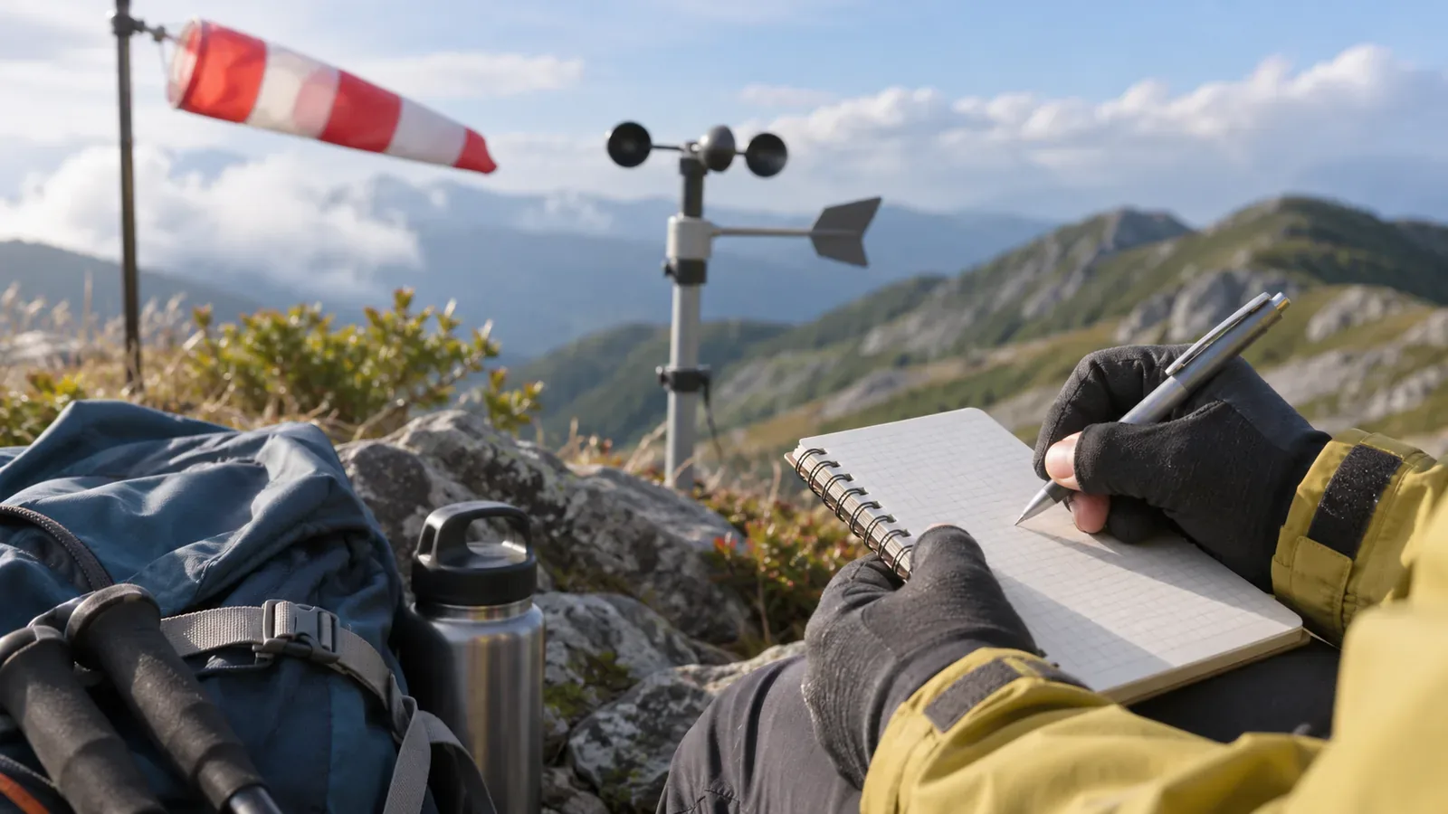
Wind direction tells you where the wind comes from. Record where it goes and where you are walking separately. In Japan Meteorological Agency (JMA) guidance available as of October 27, 2026, a north wind blows from north to south. Using the same convention makes your hiking notes easier to compare with forecasts and observations. Here are the definitions, a note format and the limits of comparing wind on a mountain with a station below.
Wind direction is where the wind comes from
The JMA defines wind direction as the direction from which the wind blows. A wind from north to south is a north wind. A wind from south to north is a south wind. In the Sendai Regional Headquarters’ description of a propeller anemometer, the wind is north when the propeller faces north. In your notes, start with where the wind came from.
Give wind and walking direction separate fields. On your own sketch, an arrow for wind blowing from north to south can point south with “from the north” written next to it. Services and symbols use different arrow conventions. Check each legend to see whether its arrows point towards the source or show where the wind is going before applying the convention from your sketch.
The same north wind feels different depending on which way you walk. Facing north, it is a headwind. Heading south, it is a tailwind. Walking east, it is a crosswind from the left. Keep the source direction and your heading separate to avoid reading the wind backwards.
Official observations: True north, compass divisions, means and gusts
The JMA uses true north as its reference, 16 or 36 directions for observations and eight for forecasts. Bearings can be measured clockwise from north: east at 90°, south at 180° and west at 270°. In the 36-direction code described by the Sendai office, north is 36. A number alone leaves the system unclear. In your notes, use a direction name or angle and give the reference.
A magnetic compass points to magnetic north, which differs from true north by an angle called declination. The Geospatial Information Authority of Japan (GSI) explains that this varies by location and can be looked up in GSI Maps or geomagnetic data. Distinguish the forecast’s true north reference from your compass or device setting. Check the local declination instead of applying a single correction across Japan.
Wind speeds also have averaging periods. The JMA’s wind speed is a 10-minute mean. Its gust speed is a three-second average of 12 samples taken at 0.25-second intervals. The JMA explains that gust speed often reaches about 1.5 times the mean and can reach three times or more in unstable air. These examples do not give a multiplier for predicting an individual gust.
Older 0.25-second values and the current three-second mean reflect a change in measurement. The JMA announced the move to a three-second average in 2007 and uses that definition today. The AMeDAS map shows the 10-minute mean up to each hour as a whole number. The 15:00 reading is the mean from 14:50 to 15:00, which differs from the brief strength you felt at one moment.
Record wind direction, body heading and strength separately
In your hiking notes, keep the direction the wind came from, the direction you faced or walked and how it felt in separate fields. Record instrument readings separately if you have them. Avoid assigning m/s to wind you did not measure. These are suggested notes for hikers. The JMA uses its own observing procedures.
A sample line: “10:40, ridge. Wind from west (16 directions, true north). Facing north. Wind hampers walking, occasional gusts. Weather: sunny.” A west wind while facing north means a crosswind from the left. Recording both directions on the same line in different fields lets you reconstruct whether the wind came from ahead or from the side.
Describe how strong it felt in words because a precise reading in m/s requires an instrument. Keep a separate description of the wind between gusts and of occasional bursts. This preserves the distinction between the mean and the gust. JMA descriptions such as difficulty walking into the wind illustrate effects in lowland or urban areas. Decisions on the mountain depend on conditions there.
Try this at home first. Mark the source direction on a map and draw an arrow from there towards yourself. Then draw your walking direction and decide whether the two arrows indicate a headwind, tailwind or crosswind. Practice makes the notes easier to write on the trail.
Limits of comparing with observations at the foot of the mountain
The JMA’s wind table notes that terrain and buildings can make wind speed at a place very different from a nearby station. Keep the station location and instrument conditions separate from your observation location, height and time. A station’s 10-minute mean averages time at that point.
A difference between the ridge and the station below may have several causes. Consider the observation time, averaging period, instruments and uncertainty of the notes alongside terrain. Writing down how it felt over 10 minutes does not produce the station’s 10-minute mean. Avoid staying exposed to match the station’s observation time. Keep what you could record safely.
When recording cold, note the temperature, clothing, wetness and sunlight separately from wind direction and strength. Keep “felt cold” as a description. Use it to recall what you were wearing and where you adjusted layers, without converting it into a temperature.
Write where the wind comes from and include the reference and averaging period
Record where the wind comes from, put your heading in a separate field and give the reference and time window. These three details make mountain wind notes readable later. Use true north and a defined set of compass directions. Describe the wind between gusts and the gusts separately. Terrain and measurement conditions can differ from those at the station below, so the values may differ too. Start by drawing the wind and walking arrows on a map at home. Use the latest forecast and conditions on the ground when deciding what to do.
References and sources
- Japan Meteorological Agency, Wind terminology
- Japan Meteorological Agency, Questions about wind
- Sendai Regional Headquarters, Instruments that measure wind direction and speed
- Japan Meteorological Agency, Wind strength and its effects
- Japan Meteorological Agency, Change to the method for measuring gusts (October 26, 2007)
- Geospatial Information Authority of Japan, Questions about geomagnetism