
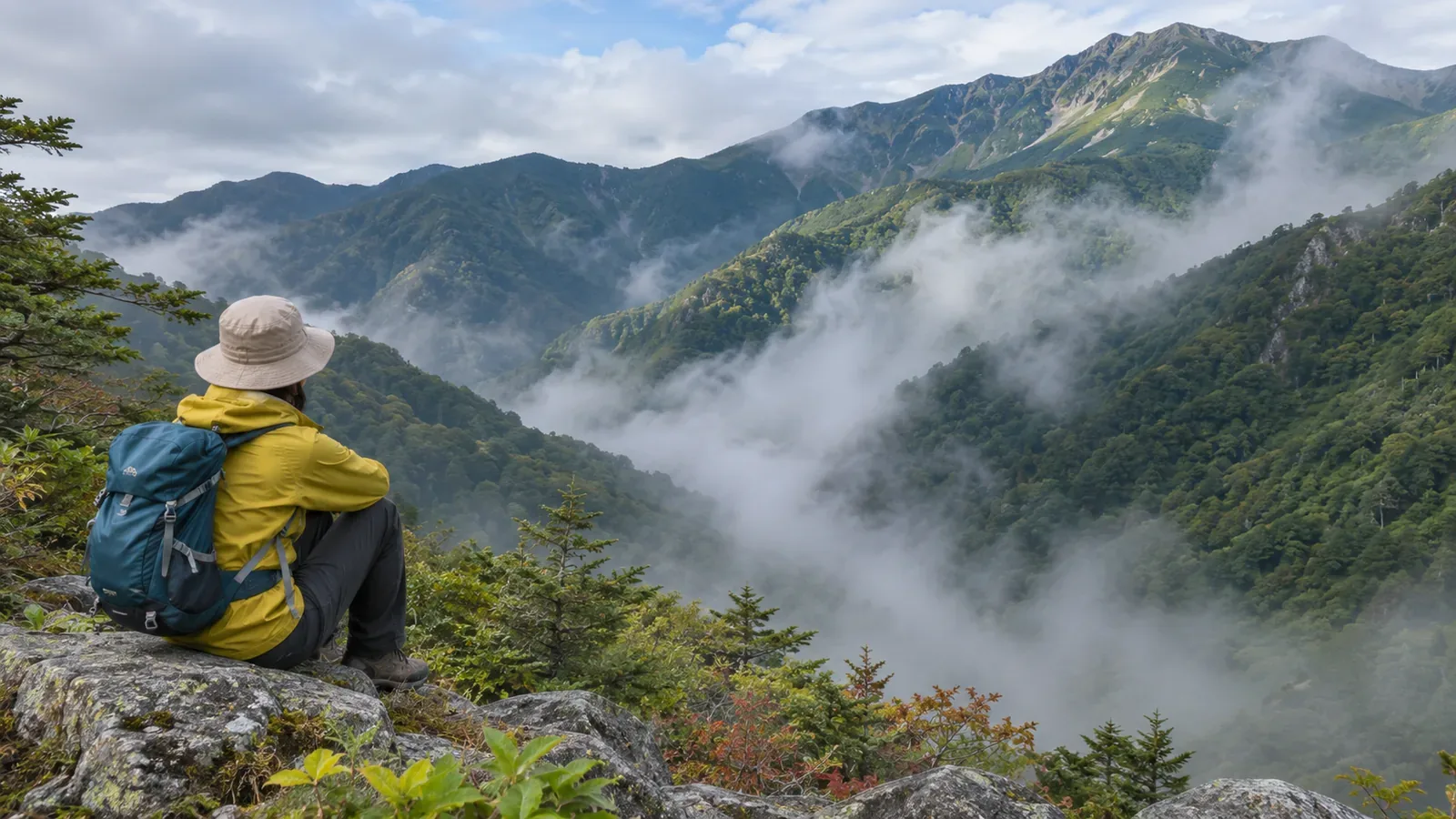
Fog may appear to rise from a valley, but appearance alone can’t tell you how it formed. To distinguish fog formed on the valley floor, cloud on a slope and fog drifting in, watch its position, movement, time and surrounding weather. Drawing on Japanese and U.S. weather services, here’s how to record changes from a safe place. Leave the cause open if you can’t establish it.
Describe fog, mist and mountain cloud in terms of what you can see
The Japan Meteorological Agency (JMA) defines visibility as how far you can see horizontally. If it varies by direction, the shortest distance is generally used. Fog is suspended water droplets that reduce visibility below 1 km. Mist reduces it to at least 1 km and under 10 km through water droplets or damp particles. Over land, dense fog refers to around 100 m of visibility or less, although advisory thresholds vary by region. These are meteorological categories. Trail safety depends on other conditions too.
The Obihiro Weather Station tells hikers that fog, or gasu in Japanese hiking usage, can form quickly. You may be inside a cloud that covers the mountain. In your notes, record which landmarks you could see and their approximate distances, rather than relying on an impression such as “thick” or “thin.”
Consider valley fog, clouds on slopes and fog moving in
The U.S. National Weather Service in Louisville explains that radiation fog can develop on a clear, calm night as the surface cools and nearby moist air reaches saturation. Radiational cooling can create fog on the valley floor. Cold, dense air drains from ridges and upper slopes into the valley, where further cooling can cause fog. Morning sunlight can warm the ground and thin the fog. The time of sunrise alone doesn’t say when it will clear.
The Obihiro Weather Station describes another process: air forced up a slope can form and develop clouds. The U.S. weather service also describes advection fog. Warm, moist air moves horizontally across a cold surface. Movement along the ground can be a clue to how it formed.
Fog can also lift. The EUMeTrain meteorology guide explains that heat from the ground can lift fog into low cloud. Seeing cloud move along a slope is insufficient to tell whether new cloud formed in an upslope flow. Several processes can form or change fog, so keep the movement you observed separate from any explanation.
Set up a fixed observation point and use the same landmarks
Watch from a safe place you can revisit without entering the fog. A window, the area outside your accommodation or a maintained viewpoint can offer a view of the valley and stable footing. Make observations from somewhere safe without going near the valley edge or onto a trail at night.
Keep your location and direction the same. On a clear, bright day, choose landmarks whose position you can identify, such as a building or a pylon, and use a map to estimate their distances. At each check, record “visible,” “faint” or “not visible.” The distance to the nearest hidden landmark isn’t a measured visibility reading. Terrain, color, size and light all affect what you see. Write what supports your estimate, such as “I can see the pylon about 300 m away, but can’t make out the building beyond it.” Keep views uphill or downhill separate from horizontal visibility.
From a safe fixed point such as an indoor window, you could check before sunrise, around sunrise and every hour afterward. This timing is an editorial example. Each time, record how clear it was the previous night, whether the wind felt light, where the fog is, and whether it stays put, drifts across or follows the slope. Photos from the same angle can support the record, while landmarks give you the visibility clues. Repeating the observations for several days lets you compare them.
What your notes tell you and how to make a hiking decision
Clear and calm conditions the previous night, a layer of fog on the valley floor and thinning as the sun warms the ground fit a common pattern of valley fog. If the fog moves sideways or covers a slope, record what it looked like first. Movement alone can’t establish advection or upslope flow. EUMeTrain notes that fog or low cloud can persist for days. If it stays, that’s an observation of how little the clock can tell you about when it will clear.
Estimated visibility from one spot can’t give a minimum safe distance for continuing a hike. Japan’s National Police Agency says poor visibility from fog can lead to losing the trail or falling. Practise using a map and compass, check your position and be ready to stop early. If you think you are lost, avoid pressing ahead. Confirm that the return route is the correct one and safe before retracing it. Avoid descending an unfamiliar slope. Use your current visibility, footing, physical condition and ability to locate yourself to assess the plan.
Summary: record what changed separately from why you think it changed
From a safe place, keep the viewing direction fixed and record the landmarks, fog position, movement and time. Treat map distances as estimates and describe what you can and can’t see. Leave the cause open if the fog looks like it is rising. Use observation to learn about the weather. On a hike, check the conditions on your route and consider shortening or canceling before you lose sight of the way or can no longer confirm your position.