
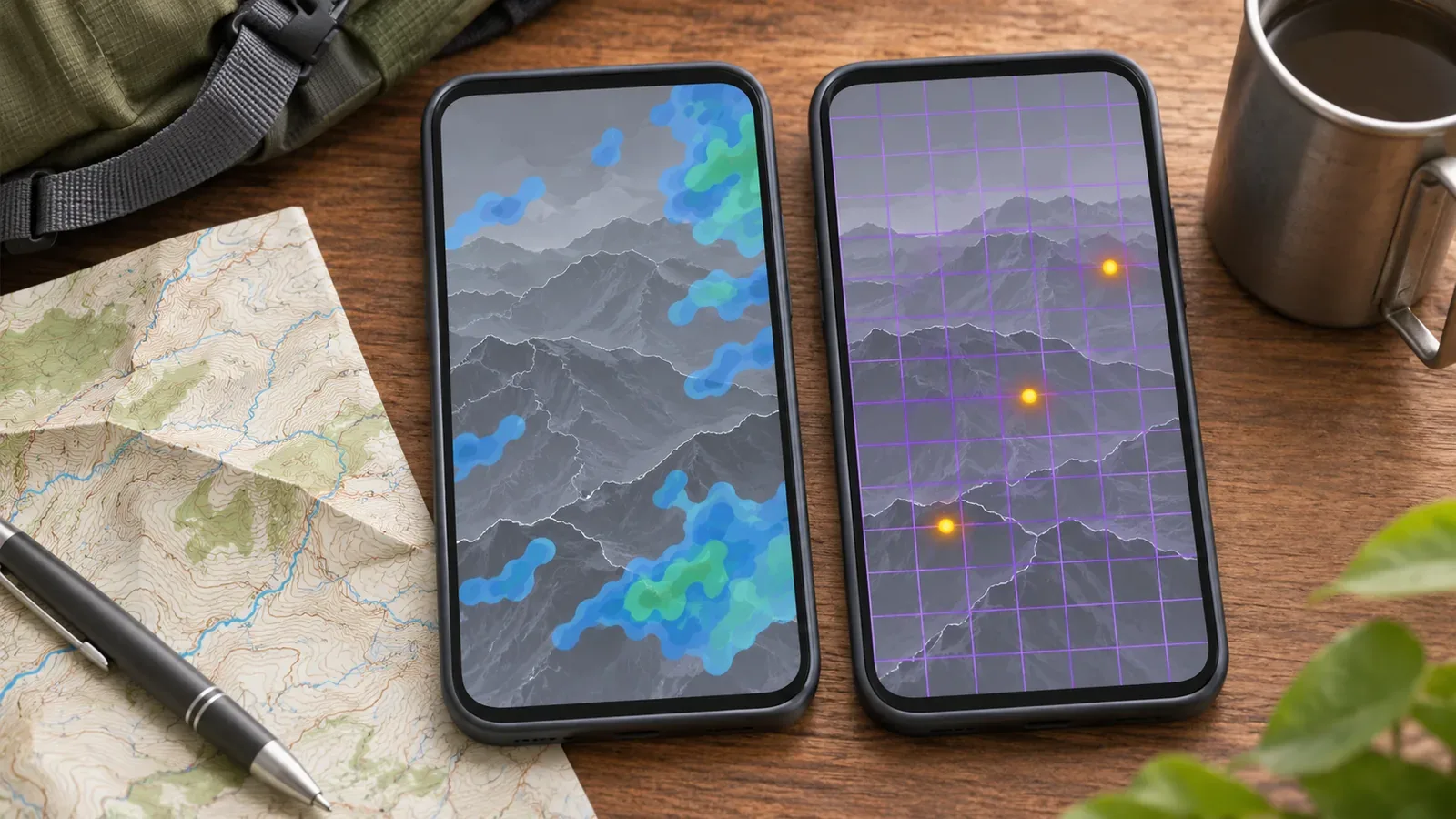
A rain map alone leaves the lightning risk unchecked. Precipitation and lightning are reported separately. Check the Lightning Nowcast, weather forecasts and advisories, and pay attention to the sky and thunder around you. An area with no activity level on the map can still be at risk.
Rain maps and the Lightning Nowcast show different information
The Japan Meteorological Agency (JMA) issues maps called nowcasts that forecast precipitation, lightning and tornado conditions up to one hour ahead. Each phenomenon has its own nowcast. A map of rain clouds alone cannot tell you what is happening with lightning.
The Lightning Nowcast analyses intensity and potential on a 1 km grid and predicts 10 to 60 minutes ahead. It updates every 10 minutes. The analysis uses discharges detected by the lightning monitoring system, radar observations and other data. In our reading of the JMA documentation, rain radar is one input to the analysis and the Lightning Nowcast is a separate product.
The Lightning Nowcast runs continuously, including when no lightning is occurring. A blank map means that the current analysis shows no activity level. It offers no guarantee of safety, as explained below.
Respond differently to level 1 and levels 2–4
Activity levels range from 1 to 4. At levels 2–4, cumulonimbus clouds are already present and lightning can strike at any time. Seek shelter immediately inside a suitable building or another safe place. More detected discharges indicate stronger activity. Level 2 can also be assigned from the radar characteristics of a storm cloud before any discharge is detected. If level 2 or higher appears, start moving to shelter even if you have yet to hear thunder or see a flash.
Level 1 means rain clouds may develop into thunderclouds. Plan for possible lightning within an hour. If it takes time to reach shelter, act early, starting at a thunder advisory or level 1.
In the mountains, a suitable building can be a long way from a ridge or summit. Starting to think about shelter at level 1 may leave too little time. Use forecasts and advisories from the previous day and day of the hike to decide whether to avoid exposed sections altogether. When estimating travel time from the map, allow for delays due to footing, physical condition and weather. Check whether the facility can actually be used.
Lightning the map may miss and places prone to strikes
The lightning monitoring system misses some discharges, and a storm can rapidly develop in an unmarked area. Even if the map looks quiet, seek shelter promptly if you hear thunder or notice other signs of an approaching storm.
The JMA explains that people are more exposed to lightning on summits, ridges and open ground. A strike can jump from a tree to a person underneath it, including in woodland. If you hear thunder, seek safe shelter promptly. Check the route and your footing and avoid going off trail into a ravine or stream bed just to get lower.
The JMA and the Society of Atmospheric Electricity of Japan discuss outdoor emergency measures when you cannot enter a safe place. The type of structure, its grounding and other conditions matter. A fixed distance from a tree or pole cannot guarantee safety. A nearby strike can also harm people through the ground. Plan in advance to avoid sections where safe shelter is out of reach, rather than relying on these last-resort measures to continue.
Make a decision note and rehearse on paper before leaving
Here are our suggestions based on those sources. Read the forecast the day before and the morning of the hike. Phrases indicating thunder or an unstable atmosphere are cues to prepare for lightning. Local weather offices in Japan issue forecasts at 05:00, 11:00 and 17:00 daily and issue thunder advisories as needed. Before leaving, check for a thunder advisory and for a forecast of activity level 1 or higher.
Note when you expect to reach ridges and summits and how long it takes to reach shelter. The Lightning Nowcast only looks 60 minutes ahead, so it cannot describe conditions two hours from now. Get the latest data when you have service, and use longer-range forecasts and advisories to make decisions before the one-hour window. Record the reference and valid times of the last product you checked before entering an area without coverage.
Mark exposed stretches, possible shelter, whether it can be used and the routes to it. The JMA lists reinforced concrete buildings, enclosed cars, buses and trains as relatively safe. The inside of a wooden building generally provides protection too. The agency advises keeping at least 1 m from electrical appliances, ceilings and walls. Check the operator’s information on the construction and availability of huts or pavilions before counting on them.
The waiting times apply to different circumstances. The JMA describes waiting at least 20 minutes after lightning activity has stopped before moving from an outdoor protective area to a safe space. The Society of Atmospheric Electricity of Japan refers to resuming a suspended outdoor event after 30 minutes without further thunder. Neither passage sets a restart rule for hiking. If considering resuming, check the latest weather information for nearby storm clouds and agree on decision criteria with your group. The society also encourages people to cancel, postpone or go home when needed during recreation at sea or in the mountains. Discuss turnaround criteria with the group before leaving.
Check rain and lightning information separately and watch for signs on the ground
Rain maps and the Lightning Nowcast describe different phenomena. Check the analysis and forecast times on the lightning product, and use forecasts and advisories to revisit the plan early. Seek shelter promptly at levels 2–4 or signs such as thunder. A blank map or light rain cannot establish safety. Before leaving, check possible shelters, how to reach them and the time needed.
References and sources
- Japan Meteorological Agency, Using the Lightning Nowcast and its limitations
- Japan Meteorological Agency, What is the Lightning Nowcast?
- Japan Meteorological Agency, Protecting yourself from sudden heavy rain, lightning and tornadoes: Check weather information often
- Society of Atmospheric Electricity of Japan, How to protect your life from lightning
- Japan Meteorological Agency, Staying safe from lightning
- Japan Meteorological Agency, Using weather information issued in stages