
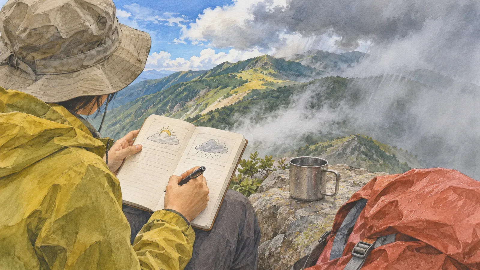
If the weather on your hike differed from the forecast, record which forecast, what differed and where. That makes it easier to improve your checks next time. Every forecast covers a place and time and uses specific definitions. Record the forecast separately from what you saw and leave the cause unknown when you can’t establish it.
Check the definition before calling it a miss
Prefectural precipitation probabilities give the chance of at least 1 mm of precipitation in the forecast area, in six-hour blocks and increments of ten percentage points. They don’t give intensity or amount. A value of 20% means the threshold would be reached about 20 times in 100 comparable forecasts. A high chance can go with light rain, and rain can occur with a low chance. These outcomes alone don’t show the forecast was wrong.
Forecast terms have specific definitions. “Occasional rain” is intermittent rain lasting less than half the period in total. “Temporary rain” is continuous rain lasting less than a quarter of it. If rain continued for a long time in a period forecast to have temporary rain, the difference is worth recording.
Check the area too. Prefectural forecasts cover local forecast areas, while temperatures refer to points such as weather offices and automated AMeDAS stations. Wind direction and strength represent an area, and speed is a ten-minute mean. Feeling cold on the summit doesn’t tell you whether the forecast for a town was wrong. Distinguish the forecast point from your location and keep impressions separate from measurements.
Before leaving: record what you checked, who issued it and when
Prefectural forecasts come out at 05:00, 11:00 and 17:00, with revisions when conditions change quickly. New observations or calculations can change the forecast, and providers can give different results. Record the provider, issue date and time, and valid area and period alongside the figures. Keep the issue you saw before departure separate from newer ones you find later.
Before leaving, make a single record of when you looked, the issue time, the provider, the type of forecast and area, precipitation probabilities by time window, wind, temperature and whether typhoons or stationary fronts are in play. Record any weekly confidence grades A, B or C for whether precipitation will occur from day three onward. The gridded forecast shows weather every three hours and the cell’s mean three-hour precipitation band. Icons prioritize expected rain or snow, so read the written forecast and regional time series for details.
The Obihiro Weather Station recommends looking at rainfall over the past 72 hours to assess trails and streams and checking the outlook past the planned descent. Record the period if you use those sources. Add a line with your actual decision and why, for example, “The previous day’s 17:00 forecast showed strengthening winds, so we shortened the ridge section.” Keep later alternatives separate from what you chose.
On the trail and after the hike: add what you observed
Only take notes when you can stop safely and stay out of other hikers’ way. Record where and when rain started or stopped, and how the wind and temperature felt. If the time is approximate, write “around 10:00.” “It was hard to walk into the wind” is an impression. Leave it as such and don’t assign an unmeasured wind speed or temperature to it.
Where you have reception, you can check rain clouds and short-range precipitation forecasts. JMA’s “Rain Cloud Movement” and “Upcoming Rain,” which goes out to 15 hours, cover different time spans. Note the product and selected time. Short-range predictions use precipitation movement, strengthening or weakening and numerical models, yet may miss local downpours. Radar can show echoes where precipitation doesn’t reach the ground. Keep screen data separate from field observations.
Compare when you expected rain clouds to arrive with when you saw them. If reception stopped you from checking at any point, write “couldn’t check” instead of leaving a blank. The editors suggest using that record to make decisions earlier in that section next time. After descending, compare the last forecast you saw with conditions while your memory is still fresh.
Review four possible explanations and mark unknowns
Look at the definition, whether the forecast was updated, uncertainty in the prediction and how you read it. Check if you confused precipitation probability with amount, used the wrong area or time, or missed a newer issue. If your record can’t identify the reason, write why, for example, “We were outside the forecast location” or “I didn’t save the forecast I saw at the time.”
When reviewing uncertainty, consider how much room your itinerary gave you to adapt. The Obihiro guide notes that forecasts can shift near typhoons and stationary fronts. Ask if you treated a forecast from several days before as fixed or checked again closer to departure. Check whether you mixed up a daily weekly probability with a six-hour prefectural value.
A few hikes are too small a sample to judge forecast accuracy for a mountain or provider. If you remember the rain starting earlier than expected, record where and approximately when. Mark recollections added later separately from notes made on the trail. Decide what to check next time and what information you were missing for the comparison.
Summary: use the record to plan margins and turnaround criteria
Before departure, record the source, issue time and forecast coverage. On the trail and after the hike, record what you saw with the place and time. Make sure the forecast and observations can be compared, and mark differences whose cause you can’t explain. Use the record to decide what to check next time and how to leave room to change the route. A few outings are too little evidence to set a safety threshold or judge forecast accuracy.