
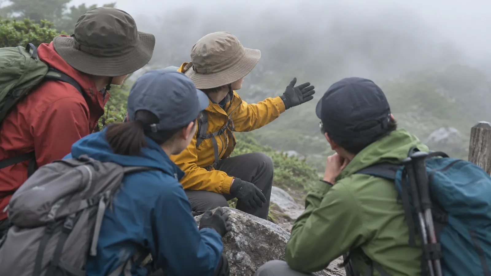
Start discussing fog before you set out. Treat the conditions you agree on as prompts for a fresh look at the plan. If you lose track of your location or route, or the weather or someone’s condition changes, reassess. Here is what to discuss with your group, drawing on the Japan Meteorological Agency’s terminology and the National Police Agency’s guidance on preventing mountain accidents.
Putting a distance to fog terms
In JMA forecasts, visibility is the distance you can see horizontally, usually the shortest distance if it varies by direction. Fog consists of tiny suspended water droplets that reduce visibility to less than 1 km. Suspended droplets or damp particles that reduce visibility to at least 1 km and less than 10 km are called mist. Dense fog has visibility of approximately 100 m or less on land. This is also the threshold used for dense fog advisories, with some regional variation. The JMA’s Obihiro office explains the Japanese hiking term gasu as being inside a cloud covering the mountain.
These are definitions for observing and forecasting the weather. Avoid using a rule such as “we can see beyond 100 m, so we can keep going.” Describe what you cannot see: “I can’t make out the next trail sign” or “I can’t tell where the edge of the path is.” Leave the distance unspecified if you are unsure. Check your location before the next landmark disappears and reassess while you can still identify the route and see where to put your feet.
Knowing how fog forms gives no timetable for clearing
The US National Weather Service in Louisville describes radiation fog, which forms when the ground cools on clear, calm nights. It also describes valley fog, which forms when cold air drains into a valley, cools further and reaches saturation. Morning sunlight can thin or disperse valley fog. Other types form by different processes. Advection fog, for example, occurs when warm, moist air moves over a cold surface. Looking at fog alone gives you too little information to determine its type or when it will clear.
These are general explanations of weather processes. They give no forecast of when visibility will improve on a particular mountain in Japan. The Obihiro office also explains that air rising along mountain slopes can form clouds, and hikers can suddenly find themselves in one. If you are considering waiting, check that you have a safe place and enough time and consider the wind, cold and how everyone is feeling. Agree on a latest time to wait, and reassess sooner if conditions deteriorate. At that time, check whether you can safely identify the way back or an alternative before choosing one.
Two problems in fog: Losing the trail and delays in getting help
Japan’s National Police Agency warned in its summer 2025 guidance that poor visibility in fog can lead to hikers getting lost or falling. It recommends learning to use a map and compass, checking your location regularly and using a paper map alongside a map app. If you think you are lost, stop moving on without checking. Decide whether you can return to the correct trail and be prepared to call off the hike early.
A 2015 mountain rescue survey by Japan’s Fire and Disaster Management Agency includes a case in which fog prevented an aerial search. The report documents one rescue case. How soon an aircraft can reach you depends on the circumstances. If you are unsure you can continue, reassess while you can still locate yourself and identify the route. Leave the availability of a later rescue out of the decision to press on.
Five things to discuss before setting out
Use these five points to start the discussion. The aim is to help the group talk through different readings of conditions on the day. Safety still depends on what you encounter.
First, agree on a signal to stop and check. Anyone should be able to call for a pause when visibility drops, the route is unclear, they feel unwell or their gear needs adjusting. In an exposed or otherwise dangerous spot, check your footing first. Avoid walking on without checking.
Second, choose places and times to consider shortening the route or turning back. Locate junctions and return routes on a topographic map. Allow time for breaks and the return. If you may wait, set a latest time while remaining ready to reassess sooner if conditions get worse.
Third, decide who will coordinate the decision and make sure everyone can speak up. Take concerns and signs of illness seriously, regardless of roles. If people identify different landmarks or disagree about where they are, check against the map and trail signs. Experience is one input to that check.
Fourth, plan how to stay in touch. The National Police Agency warns that some areas have no mobile reception. Bring the maps and backup power you need. Tell family or another contact your route, expected descent time and what to do if you fail to check in. Check mobile service and device positioning separately. Consult the carrier’s coverage information alongside the topographic map, and plan for places where service fails.
Fifth, discuss what to do after changing the plan. Consider whether the way back or another descent route is usable, or whether there is somewhere safe to wait. A line on a map gives no guarantee that the route is passable in current conditions. Avoid continuing downhill when you cannot identify the route or see your footing. Request rescue if necessary.
Finally, spread out the map and talk through a scenario: “At this point, we lose sight of the next sign and we’re no longer sure of our location.” Ask what each person would check and how they would tell the group. Use any differences to refine your preparations. This can be done entirely with the map.
Agree on a plan before leaving and reassess as conditions change
Before setting out, discuss the stop signal, the places and times to consider a shorter route or a turnaround, roles and how to speak up, communications, and what to do after changing the plan. Keep forecast visibility categories separate from the decision to continue. Fog can persist and the way back still needs checking. On the trail, reassess your position, footing, visibility, everyone’s condition and time remaining. Share any change of plan promptly.
References and sources
- Japan Meteorological Agency, Terms for fog and visibility
- Japan Meteorological Agency, Obihiro office, Before heading into the mountains
- US National Weather Service, Louisville, How Fog Forms
- National Police Agency of Japan, Overview of mountain accidents in summer 2025 (September 16, 2025)
- Fire and Disaster Management Agency of Japan, Survey report on mountain rescue operations (October 2015)