
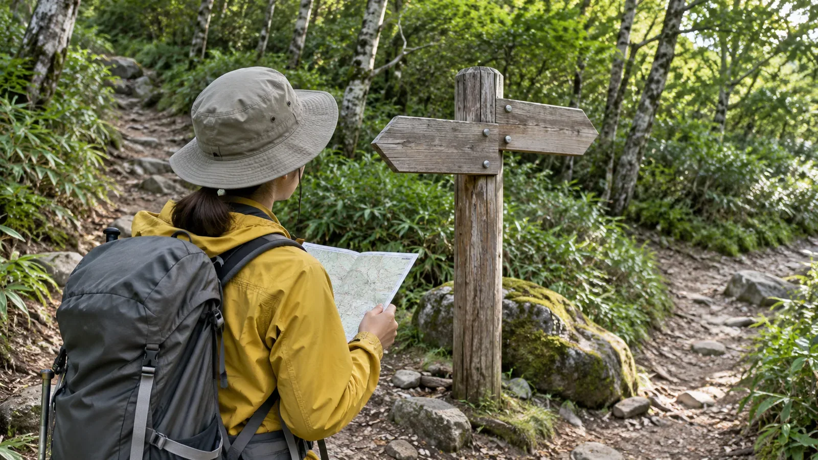
If a sign at a familiar junction differs from what you remember, stop and confirm your location and destination. Compare the map, nearby terrain and what the signs say. Look for closures and detours. If you cannot confirm where you are, stop going forward. Retrace your steps if you know the way and can do so safely. If you cannot move safely or find your way back, consider calling for rescue.
Even at familiar junctions, signs can be missed and maps can differ from the trail
YAMAP Magazine lists overlooking the direction of a sign at a junction as a reason people lose their way. Where a hiking trail leaves a forestry road, it is easy to follow the wider road. The article gives the descent of the Sannoto Ridge in Tanzawa as an example. Even on a familiar trail, reread the arrow and the destination at the junction. Compare what you remember with the sign you see today.
A map can also differ from the trail. On March 7, 2018, the Geospatial Information Authority of Japan published topographic maps with major trails in Kamikōchi and Yatsugatake revised using hikers’ track data. It corrected places where the mapped trail and actual tracks differed, including rerouted sections the maps had yet to show. This example illustrates how a map can lag behind local changes. It gives no assurance about the current maps or signs in other areas. Start with this rule: when memory and signs disagree, check the evidence before deciding which to trust.
What to do when a sign differs from your memory
If something looks wrong, stop on stable footing where others can pass before going into the junction. Check the surroundings for hazards. If you need to move, do so only where you can see your footing and the place you are moving to. Use your phone, take pictures or make notes while stopped.
Once stopped, check your location on the map. Yamanashi Prefectural Police advise using maps, GPS and other aids to keep track of your position. Compare features you passed just before the junction, such as a bend, a split in a ridge or two streams joining, with the shape of the junction on the map. Read the sign and match its arrows and place names to the map one at a time.
Treat tape by the path with care. YAMAP Magazine notes that much of it marks work unrelated to hiking. Yamanashi police also warn that reading or hearing about a route cannot replace experience. Use online reports as context and give priority to comparing the terrain in front of you with the map. Once you confirm where you are and which way to go, still heed closure and hazard notices. If you cannot confirm the route, stop. If the way back is also unclear, avoid wandering in search of it.
Make a paper note for each junction before leaving
YAMAP Magazine suggests describing each section of your route before the hike and checking it against the ground on the day. It also suggests identifying terrain changes such as bends on the map. Apply this to familiar junctions. Write down four things for each one: (1) terrain just before it, (2) what you remember about the sign and its direction, (3) where you plan to go this time and the destination name, and (4) the point you would return to if things do not match.
Item 2 matters. Putting your memory into words makes it easier to compare with the sign and explain what differs. A vague feeling leaves little to check. This is a practical suggestion from the editors. Also check whether your map or app uses up-to-date information, since rerouted trails can take time to appear on maps.
If you use a compass, account for magnetic declination, the difference between magnetic north and map north. The Geospatial Information Authority explains that it varies by place and over time. Check GSI Maps or the geomagnetic information for the area rather than using a value from another mountain. Published models have a reference date and the value printed on an old map may be out of date. Practise aligning your map and compass at home or on a course.
When to turn back if the mismatch remains
Yamanashi police advise checking your position as soon as you suspect you are lost and returning to the marked trail. Move back only if you can identify the way and follow it safely. The police cite fatal cases in which people who lost the trail entered gullies or fell from cliffs. The National Police Agency’s 2024 overview also advises stopping early, assessing the situation and returning to the established trail when possible.
In that overview, 30.4% of 3,357 people involved in mountain incidents in 2024 had lost their way. This share is of people, out of 2,946 separate incidents in total. It includes activities such as foraging and sightseeing. It shows that losing the trail is a common type of mountain incident. Before leaving, decide to stop if you cannot reconcile your position with the signs. If you cannot identify a safe way back either, focus on establishing your location and requesting rescue as needed.
Following police advice, allow enough time, identify hazards and escape routes in advance, and prepare, share and submit a hiking plan. A GPS-enabled phone can help with a rescue call, but reception and battery life are limited on many mountains. Carry a paper map alongside the app.
Check your location and the way back first
A notice on site or an update from the trail manager may explain why the sign changed. First check where you are, where the path leads and whether it is open. The junction note can help. If you cannot explain the mismatch, stop going forward. Return if you know a safe way back. If you cannot find your way or return on your own, stay clear of unsafe movement and seek rescue early.
References and sources
- Yamanashi Prefectural Police | Hiking precautions
- YAMAP Magazine, Daisuke Washio | How to avoid losing your way
- National Police Agency | Overview of mountain incidents in 2024
- Geospatial Information Authority of Japan | First topographic maps with trails revised using movement data, March 7, 2018
- Geospatial Information Authority of Japan | Making hiking maps easier to use, December 1, 2016
- Geospatial Information Authority of Japan | Find magnetic field values